This week’s walk was on the Whittaker Trail around Mount Douglas Park.
Being a beautiful warm day, and due to the drive up to the top of the mountain being closed off, parking was a bit difficult to find, however, we (R., Ryuu-chan, Dragon-kun, and I) did find a place by another smaller park on a side street.
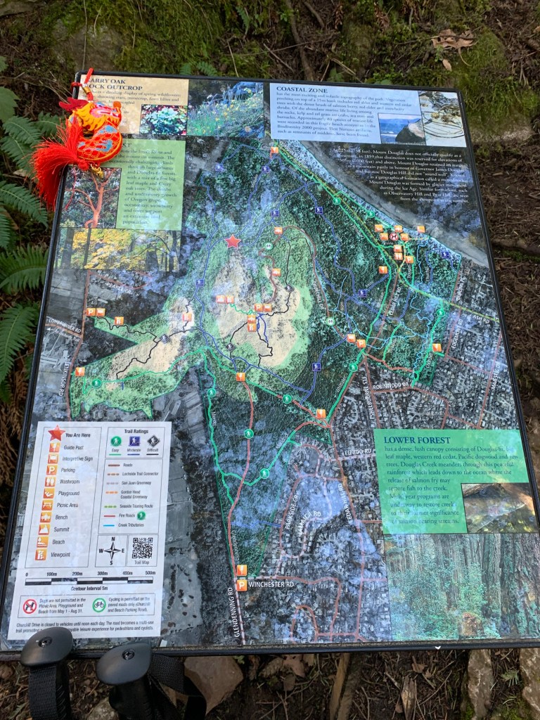
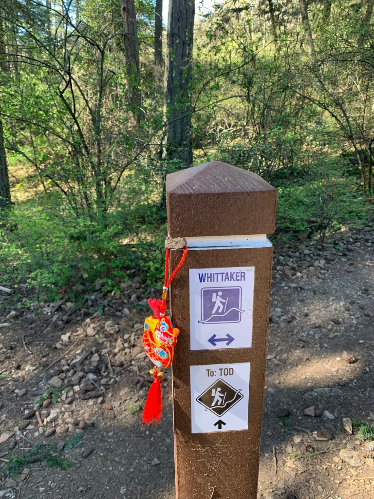
The trial is well marked and there are handy maps with information about the flora dotted along the path 4.7km path.
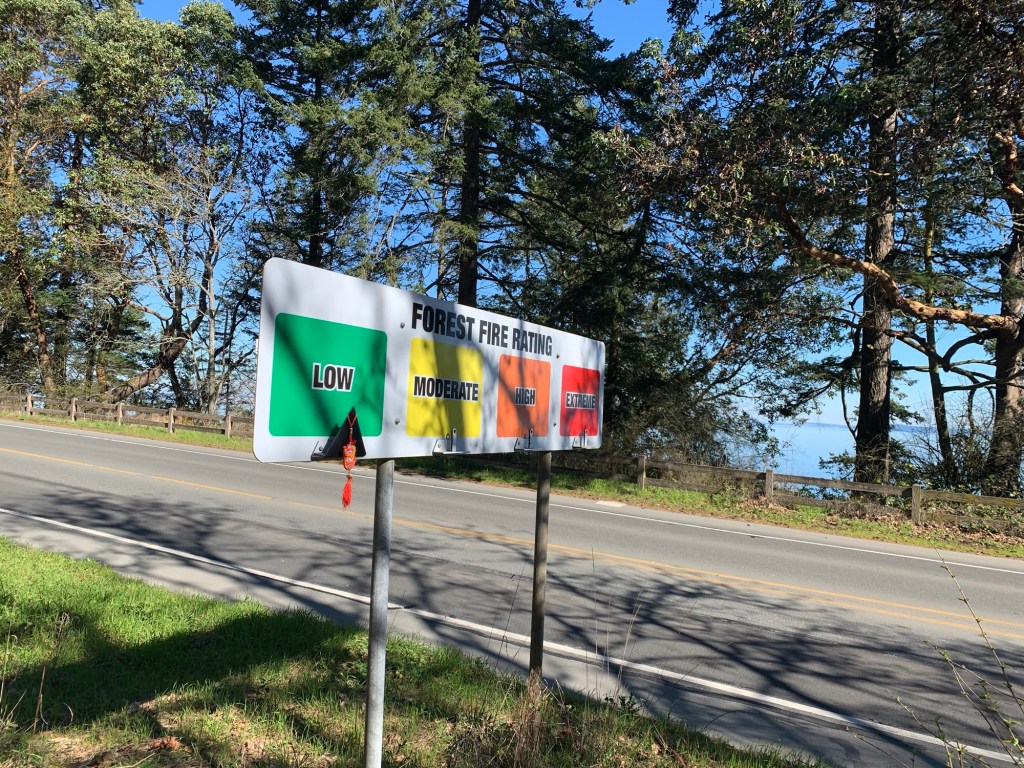
Ryuu-chan posing by one of the maps along the pathRyuu-chan posing by one of the trail markersRyuu-chan posing by the fire rating sign.. she wanted to remind people that even though the fire rating is low, one should not throw their cigarettes out the window!
We had a bit of drama on our walk. We came across a woman looking for her wee dog… it was off leash and ran off. She said that it always came back, but not this time. R. was concerned (and rightly so) as we did hear an owl hooting before, and wee dogs don’t fair when it comes to predatory birds. R. And I kept our eyes out for the little Yorkie in a Jean jacket as we continued up along the path. Luckily, the story has a happy ending, as the woman’s partner had found the dog and we got to meet the very cute and excited dog.
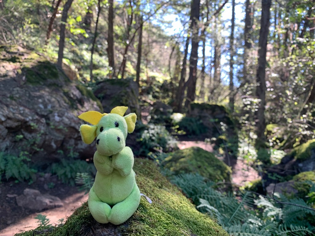
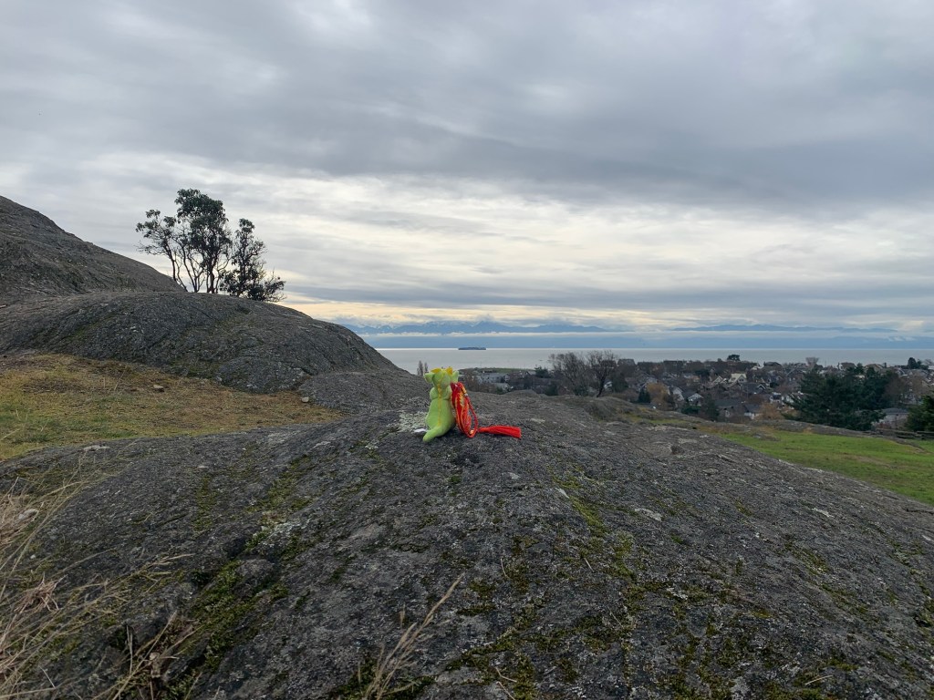
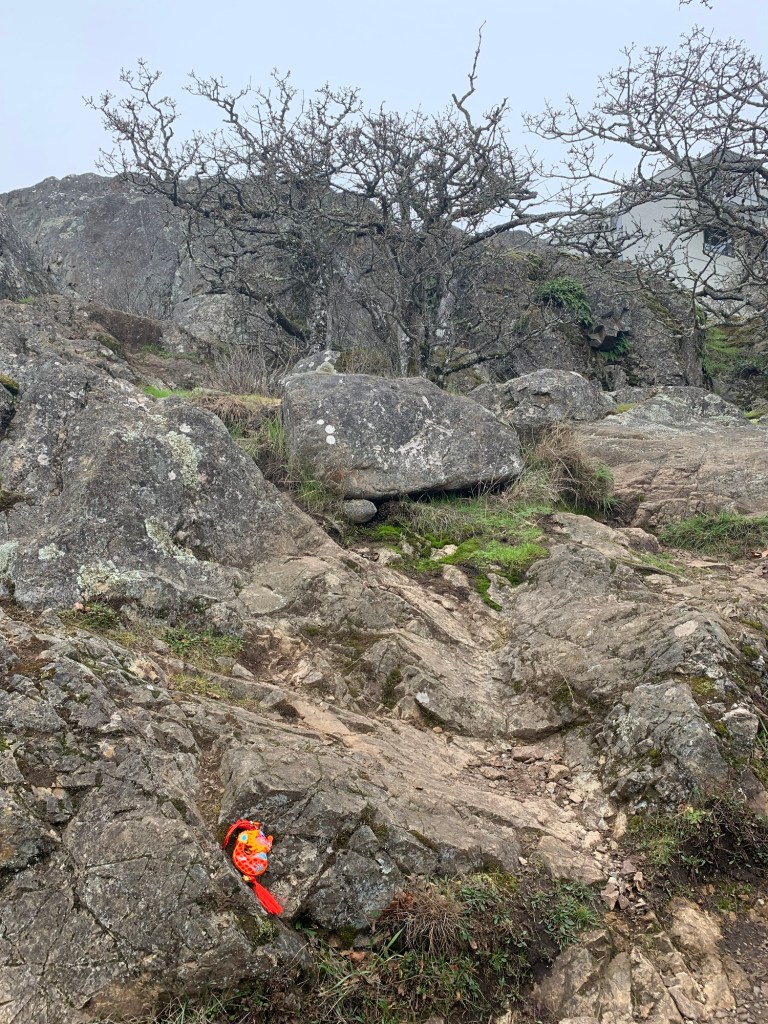
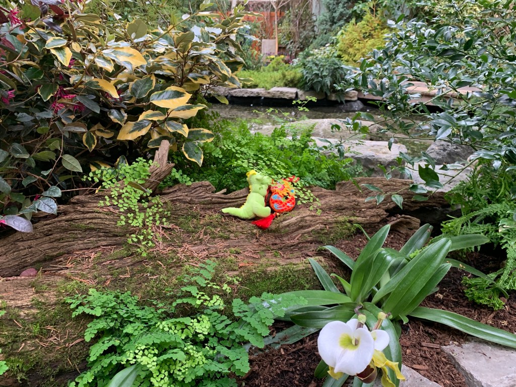
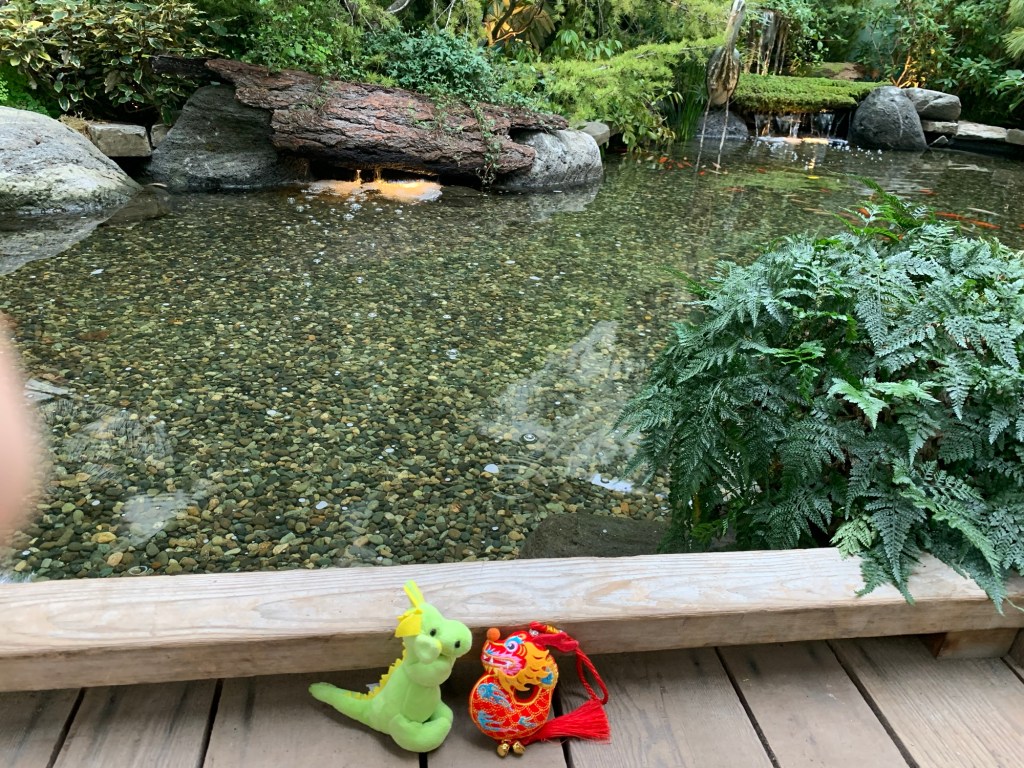
Can you spot Dragon-kun?Dragon-kun on a mossy rock along the path
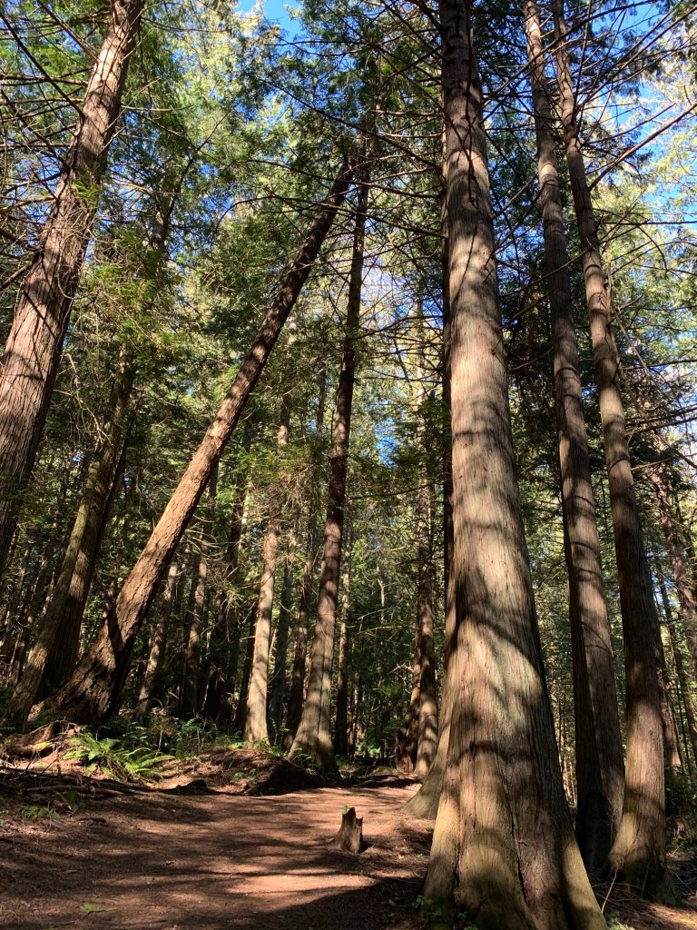
The path was interesting as there were wide, relatively even paths and rocky hilly paths… but in terms of seeing something different from all the other walks we’ve been on… not so much.
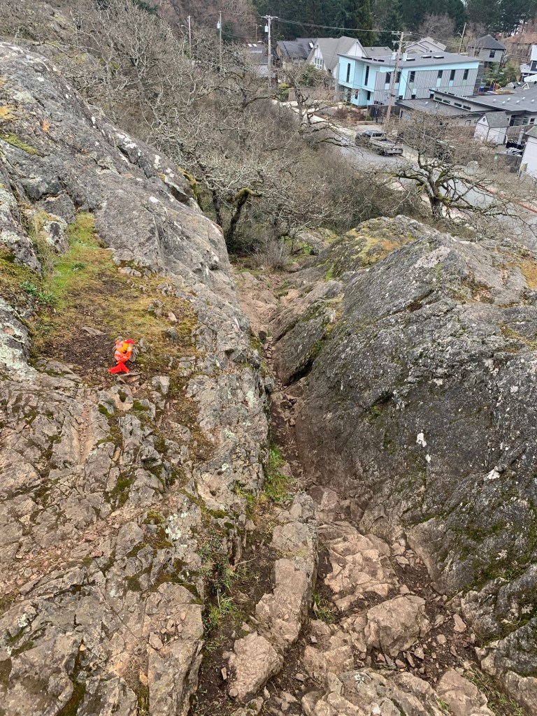
Well, except for a cave. According to the internet, and we know how reliable that can be, it is a mouth to an old mine… I know that children like climbing into that little space… I wonder how safe it is?
Mouth of cave/abandoned mine. Dragon-kun was thinking of making it his home where he could hide all his golden treasure… until he found out the cave is popular with children.
We didn’t climb to the top of the “mountain” but rather stuck to the circular route round the park… it was hilly enough for us.
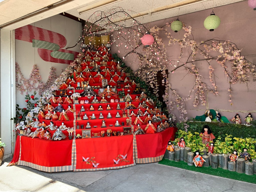
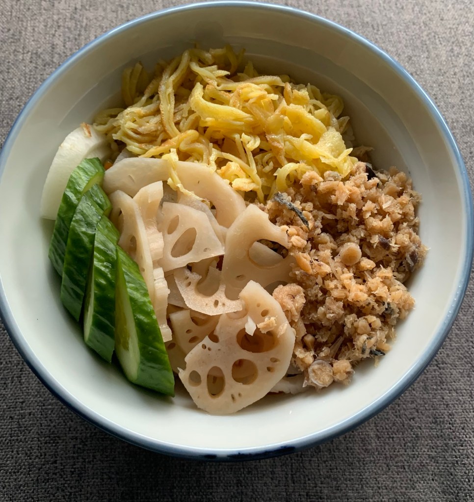
First of all, let me wish you all a Happy Girls’ Day. March 3rd is Girls’ Day (Hanamatsuri) and a Shinto holiday in Japan. It is traditionally a day where a red tiered platform is covered in dolls and a special rice dish is prepared and eaten. If you recall the pilgrim I did last year in Japan, there was a town where they still had the dolls out everywhere on April 3rd. This year, as usual, my mother made me the delicious rice dish. Thank you, mom. ❤️
Happy Girls’ Day.
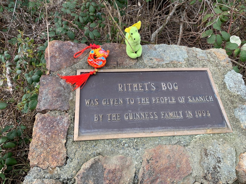
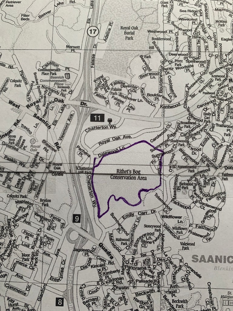
This week’s walk was to Rithet’s Bog. I was joined by Ryuu-chan, Dragon-Kun, and R. (we are happy to have her back walking with us).
The walk is a 2.76km circular route around the 42-hectare nature sanctuary.
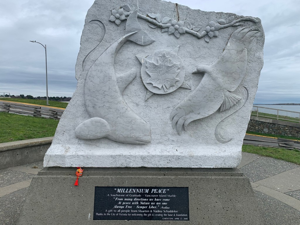
R. P. Rithet was a successful businessman in Victoria in the late 1800s. The bog was part of his farm, Broadmead, which you canny readers will remember from one of the first walks we did this year.
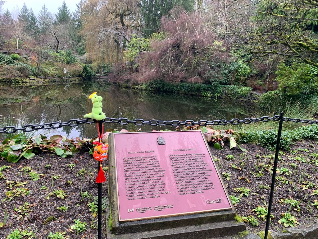
Plaque near the start of our walk.
We parked on Dalewood Lane am headed in an anti- clockwise direction around the bog. We passed and we were passed by several dog walkers and families with children on the trail. Even with all the people out, there was enough space make it feel like we were the only ones on the trail.
The bog is home to several bird species and fish, as well as lizards. We mostly saw several ducks and a few cats… which is a bit alarming.
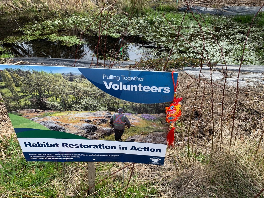
Ryuu-chan excited about the Habitat Restoration signDragon-kun on the sign explaining the bog.
There is a group of volunteers who are apparently restoring part of the bog. We passed by a sign about the volunteers on a cordoned off area. The area had an area dug out and covered with a black tarpaulin like mat which as full of water and a wonderful variety of plant species.
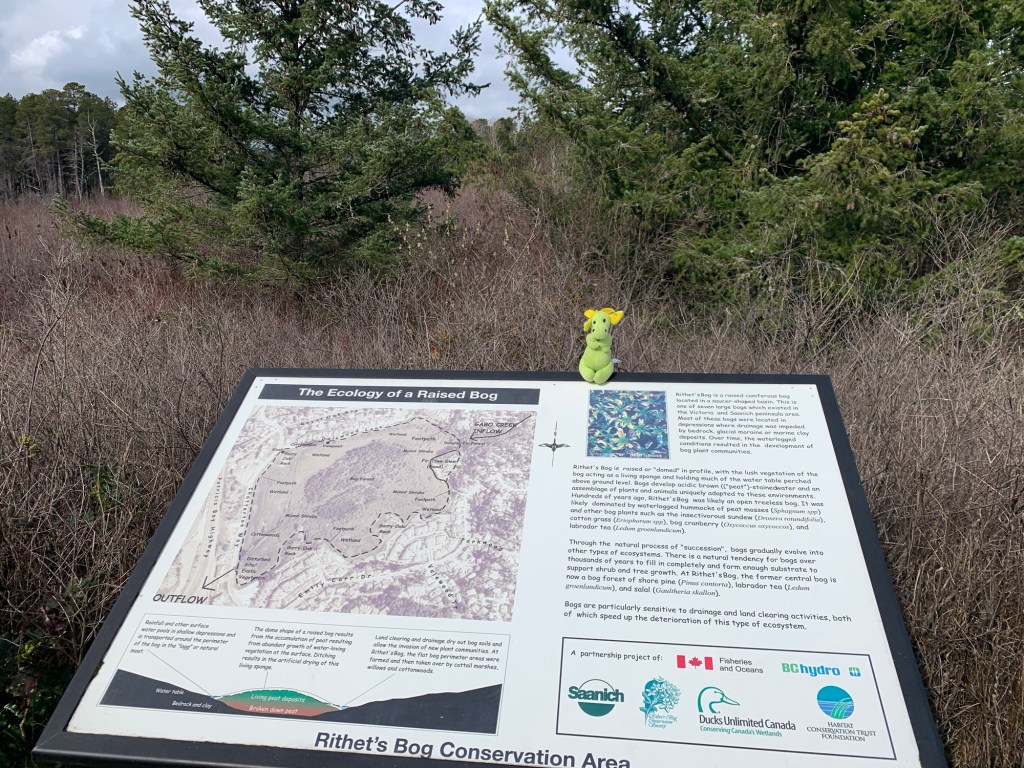
A little further along there was a sign explaining the ecology of a raised bog. The dome of the raised bog is made up of living peat.
Side note: Peat, when healthy, is a great sequester of CO2. However, damage to peatlands around the world is responsible for 5% of global anthropomorphic (human impact) CO2 emissions.
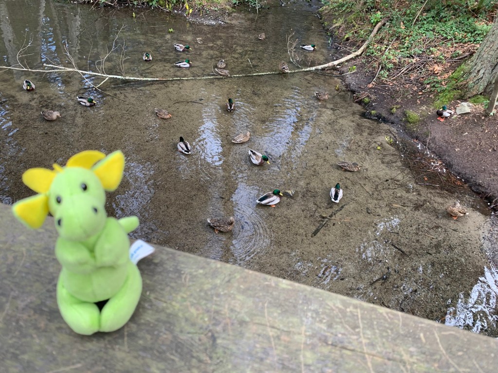
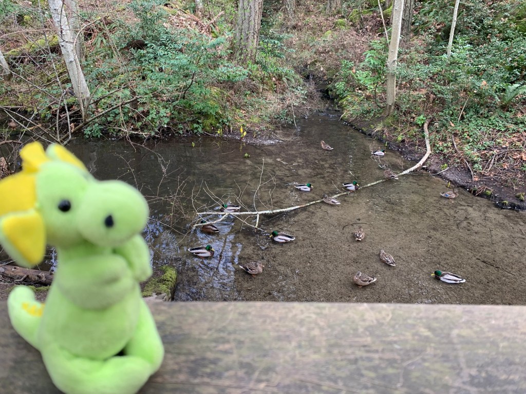
Beautiful clear water under a bridge we crossedDragon-kun pointing out the stink cabbage on the far side of the stream
We walked over a small bridge where there were several ducks in the clear water. Dragon-kun pointed out a yellow flower like object on the other side of the stream, and R. with her amazing knowledge of plants told us it was a Skunk Cabbage. Dragon-kun and Ryuu-chan loved the name of the plant.
Although, it was still too early to see the bog in its full boggy glory, it was a pleasant walk. Might have to come back in the summer to see the bog in its verdant splendour.
The trail around Rithet’s Bog
If you would like to do the walk, there is parking on Dalewood Lane. Or if you don’t mind a bit more of a walk, one could also park at Broadmead Shopping Centre (it is marked by the number 11 and wine glass on the map… the wine glass is where there is a BC Liquor store).
This week’s walk is based off of John Crouch’s walk #3
I say based off as many of his walks take in the same areas.. .and although it is nice to see how spring is arriving little by little each week, it does get repetitive. So this walk is a bit shorter. 3.98km.
This week’s walk is the green route
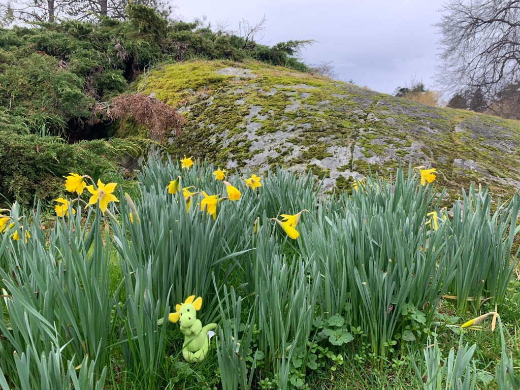
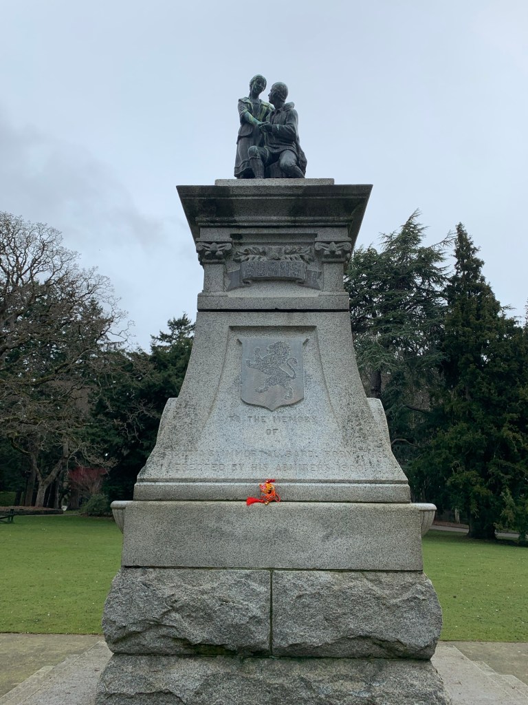
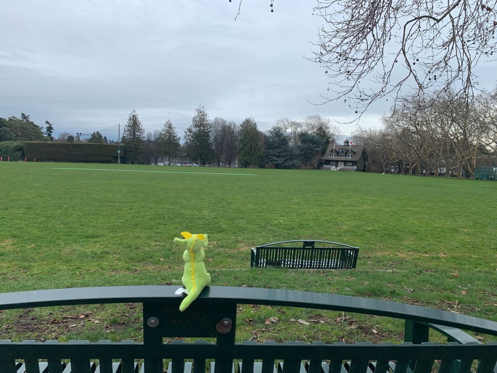
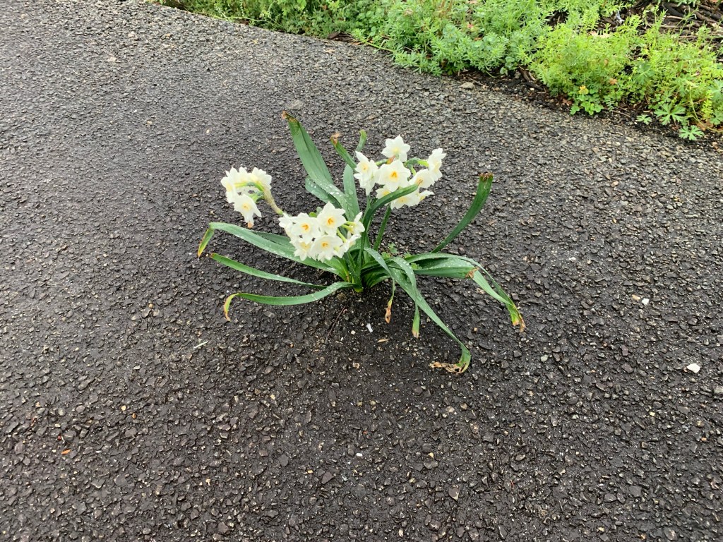
We (Dragon-kun, Ryuu-chan, and I) started our walk in Cook Street Village at Moka House (all walks must have coffee). Walked south, past the croquet lawns, the bowling green and the cricket pitch to the Robbie Burns monument (don’t ever say that Victoria, British Columbia was not colonized by the English and Scottish).
Dragon-kun amongst the daffodils Ryuu-chan trying to pose like the rampant lion on the crest. Robert Burns monument.
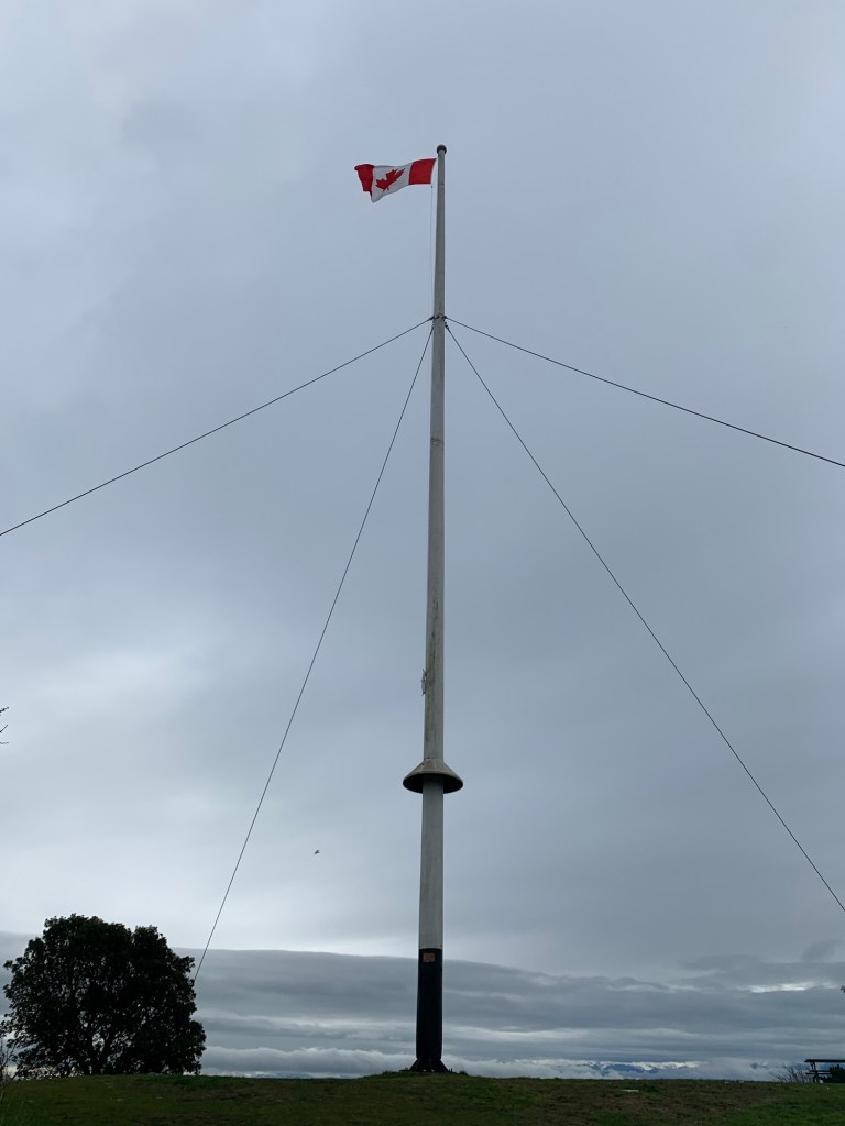
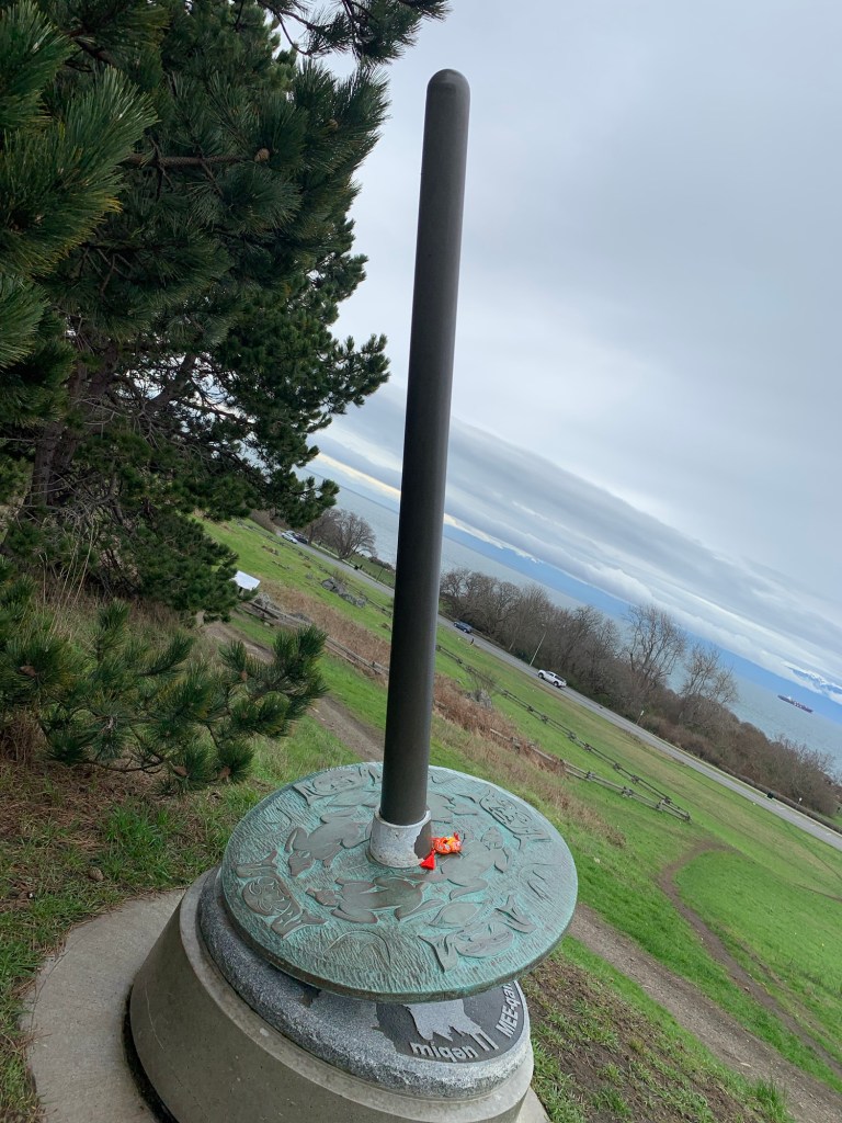
We then walked past the Children’s Farm up to the flag pole on top of Beacon Hill.
Flag pole on top of Beacon Hill. The Olympic Mountains are just about visible.
This was also an important place for the Lekwungen peoples whose unseated territories Victoria is located. (I will be doing a blog on the signs of the Lekwungen people in a future blog).
There is aspindle whorl in each of the important areas. The one here is to mark the place where the Lekwungen played a games similar to field hockey, a village was at the bottom of the hill and camas bulbs were harvested as an important food source.
There is also a place fenced off where there are burial cairns.
Burial Cairns
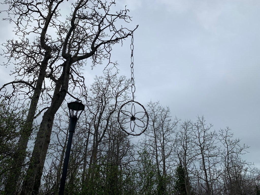
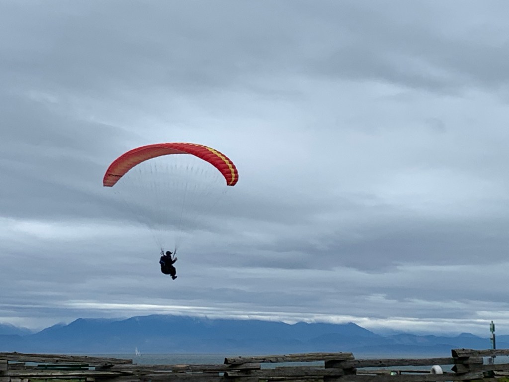
Walking along Dallas Road we came across some interesting art and people paragliding.
Someone made this out of vines… how they got it up that tree is beyond meCan you spot Dragon-kun?Guy paragliding
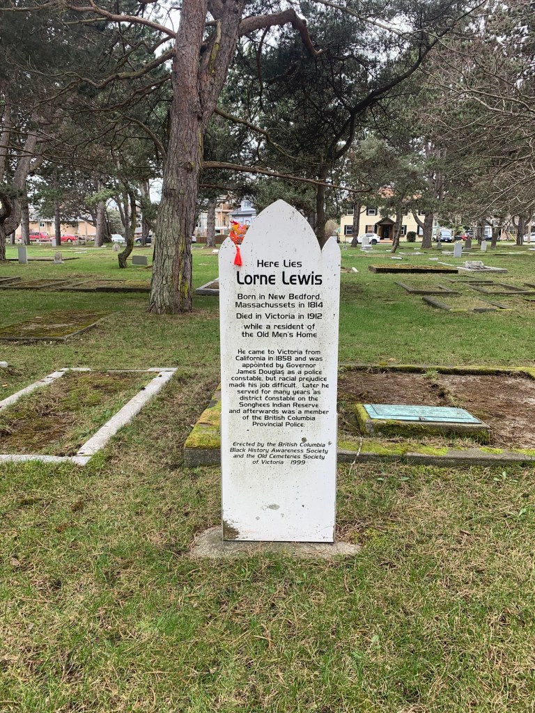
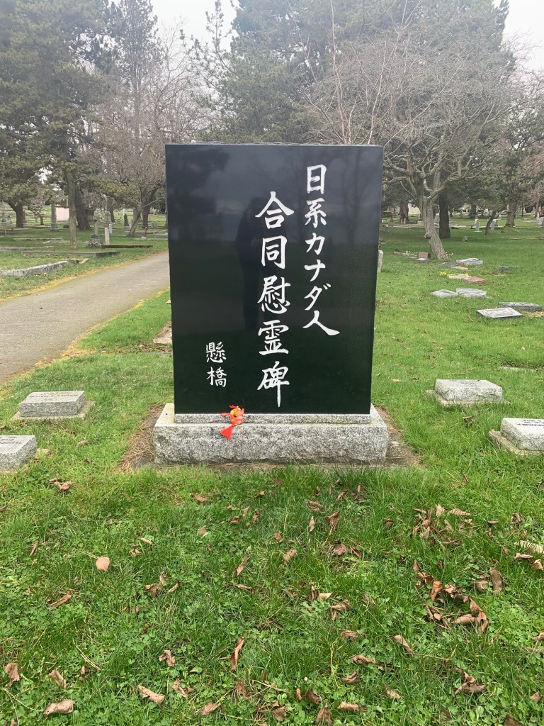
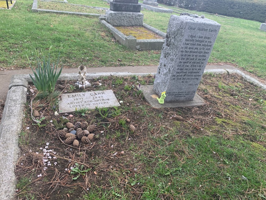
We then entered Ross Bay Cemetery and visited the grave of Lorne Lewis, a pioneer black policeman, the Kakehashi monument (which honours the 150 Japaneses people buried here), and Emily Carr’s grave. If you visit the cemetery, there is a pamphlet with all the “notable” sites on it that you can pick up at the caretaker’s office.
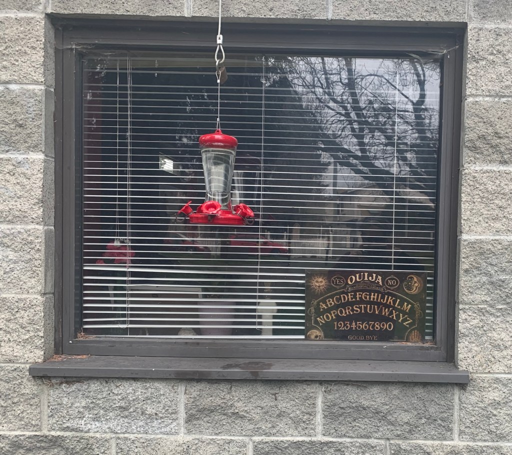
Lorne Lewis’ graveKakehashi monument Emily Carr’s (artist) graveCaretaker’s office…. Not sure if the caretaker does seances or if they found the Ouija board while maintaining the cemetery
We then made our way toward Government House. On our way, there was an elderly Asian woman who looked confused and approached us speaking Mandarin or Cantonese. I tried to use Google translate, but it didn’t help. There a young man she also tried to get to help her . I called the police and they also tried to help, but not knowing what language she was speaking made it really hard. In the end, a neighbour of hers recognized her and brought her home.
In the excitement Ryuu-chan lost her tassel. We will see if we can mend Ryuu-chan. Ryuu-chan said not to worry if we can’t as she thought it made her bum look big. Dragon-kun and I decided to ignore this comment.
We walked to Government House, but the flowers weren’t in bloom (the Royals sometimes stay here when they visit).
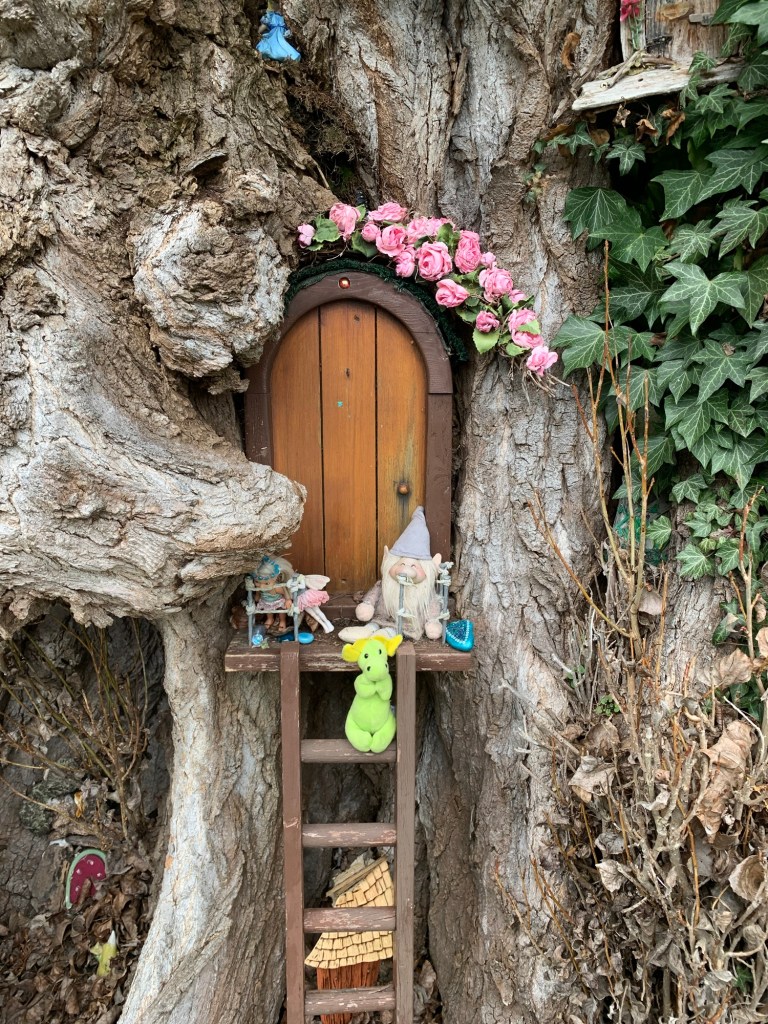
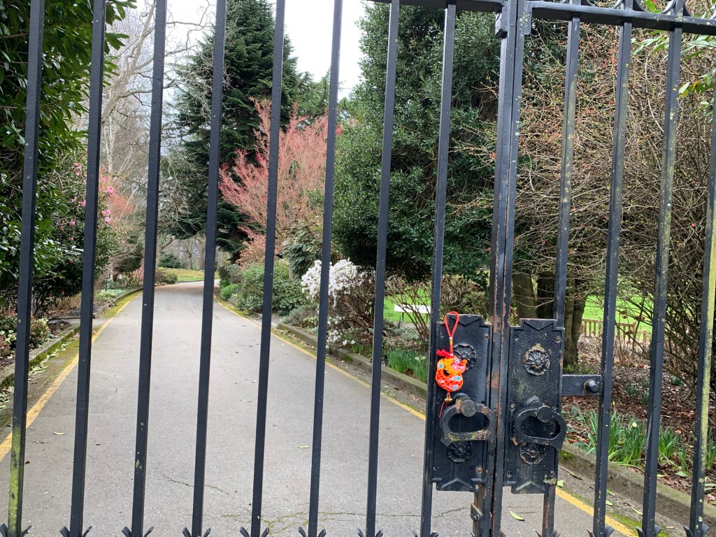
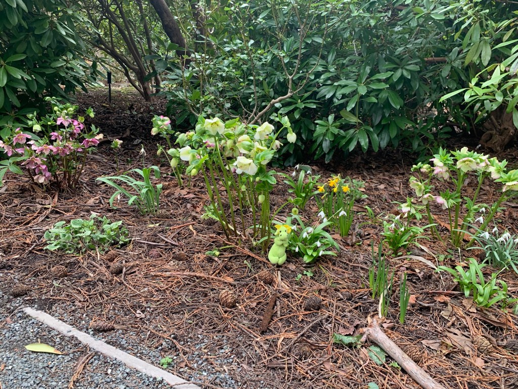
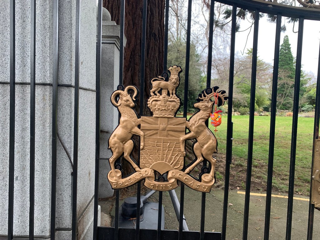
Dragon-kun at a fairy door in front of the entrance of Government House One of the gates to Government House The only flowers we saw in bloomRyuu-chan on the crest of Government House
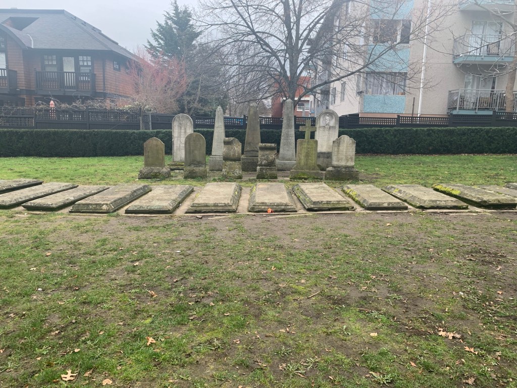
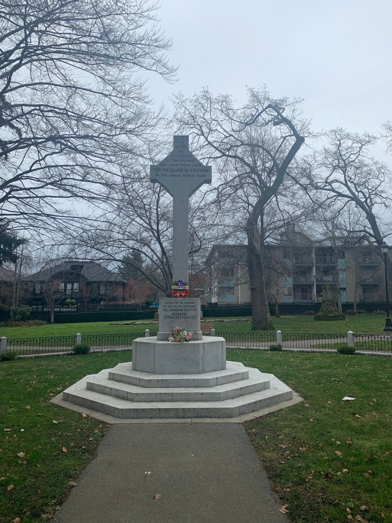
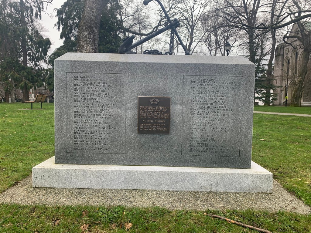
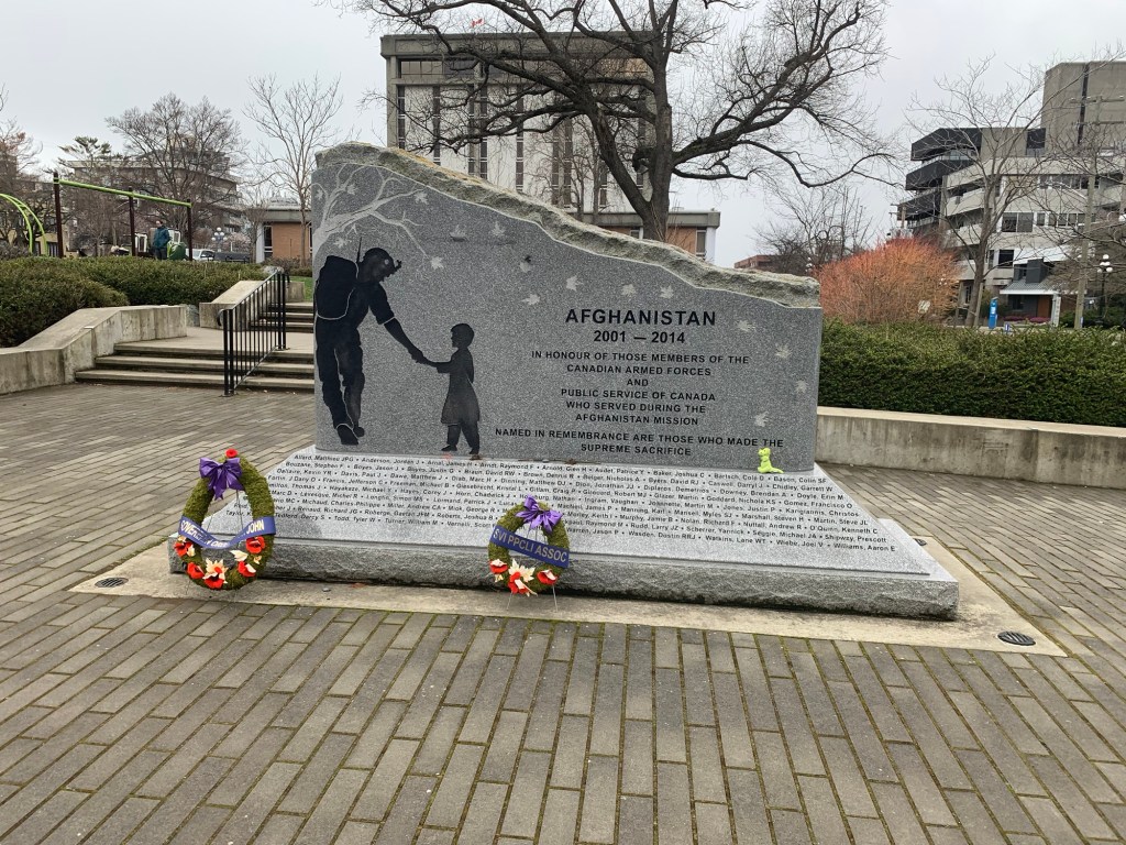
We then walked to Pioneer Square and saw more graves and memorial.
Tombstone group. Including one for Hannah Estes, a black woman who was born into slavery in Missouri and died in Victoria in 1868Canadian Scottish Regiment memorial for the great warsMonument for 55 Canadian Naval men and a police constableMonument for Canadian Armed Forces who lost their live during the war in Afghanistan
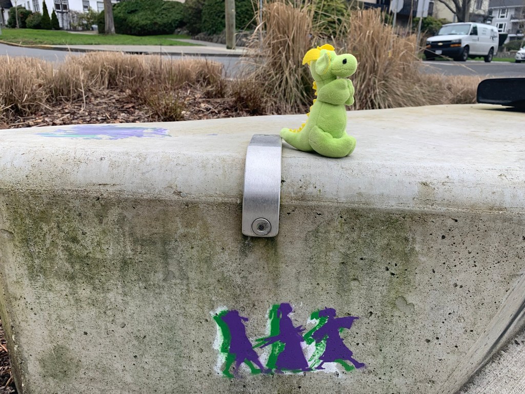
We then walked back to Cook Street Village exhausted. But did find interesting graffiti on the way back.
If you are interested in this walk (lost elderly woman, not guaranteed) there are several places to park on this circular route:
In front of the cricket pitch, or by the Children’s Farm (both in Beacon Hill Park), along Dallas Road, and at the Fairfield Plaza( in front of Ross Bay Cemetery).
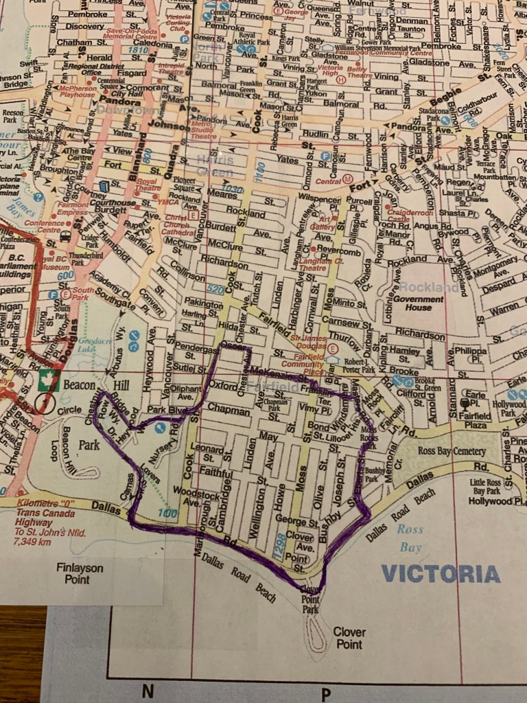
Today’s walk is based off of walk #10 from John Crouch’s Walk Victoria. The walk we (Ryuu-chan, Dragon-Kun, and I) did was a bit longer (4.64km).
Map of walk
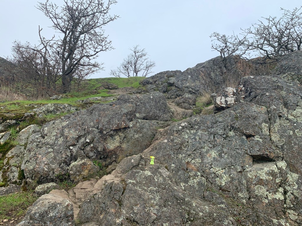
The walk Crouch suggested goes in a clockwise direction, making the walker go down a very rocky and steep hill. Going down said hill is not a problem. The problem is going down safely. For those who have bad knees/ankles, I suggest going in the opposite directions or using an alternative route (such as turning around from the view point of Moss Rock and heading East on Fairfield and heading down Memorial to Dallas Rd)
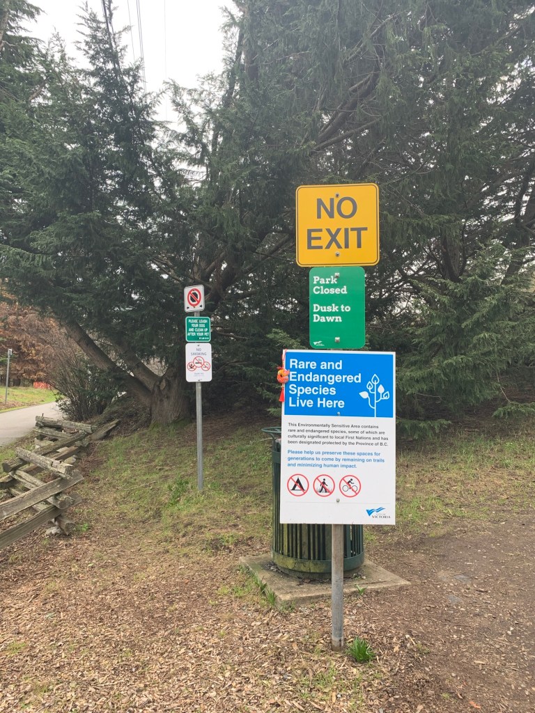
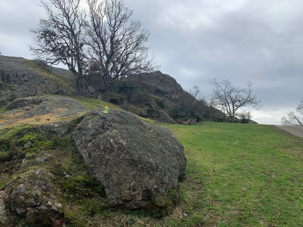
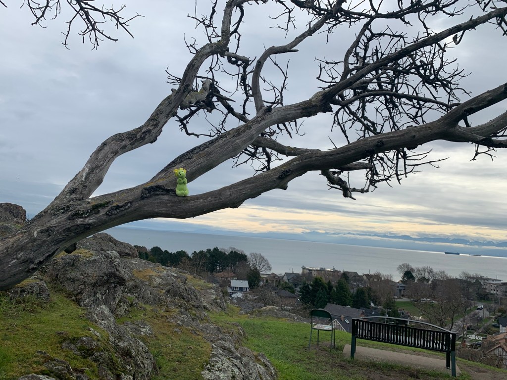
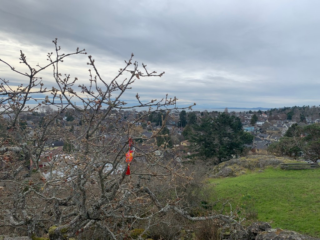
Entrance to Moss Rock Park. Ryuu-chan said she is a rare and endangered species Dragon-kun on one of the rocks of Moss Rock ParkDragon-kun and Ryuu-chan enjoying the viewDragon-kun climbed a tree to get a better viewRyuu-chan not to be outdone dangled from a branchDragon-kun at the bottom of one of the rocky pathsRyuu-chan at the top of another rocky path looking downRyuu-chan looking back up part of the rocky path we just went down
From Moss Rock we headed down to Dallas Rd.
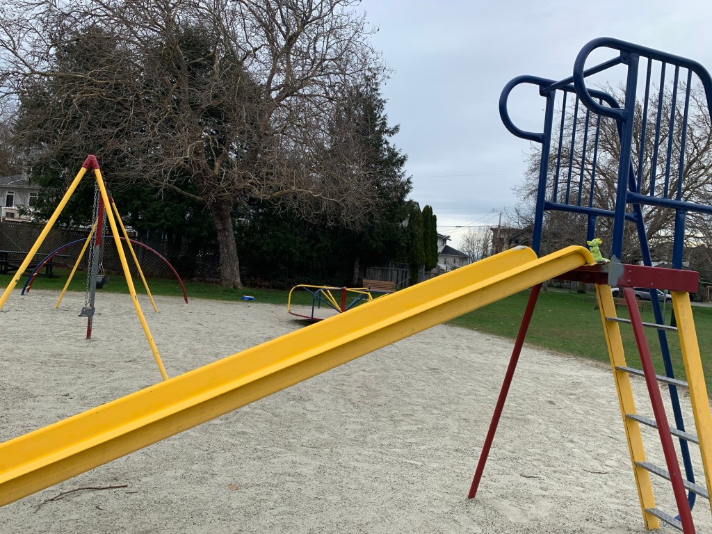
Ryuu-chan found an ancient relative in someone’s garden Dragon-kun couldn’t resist the slid in the park we past
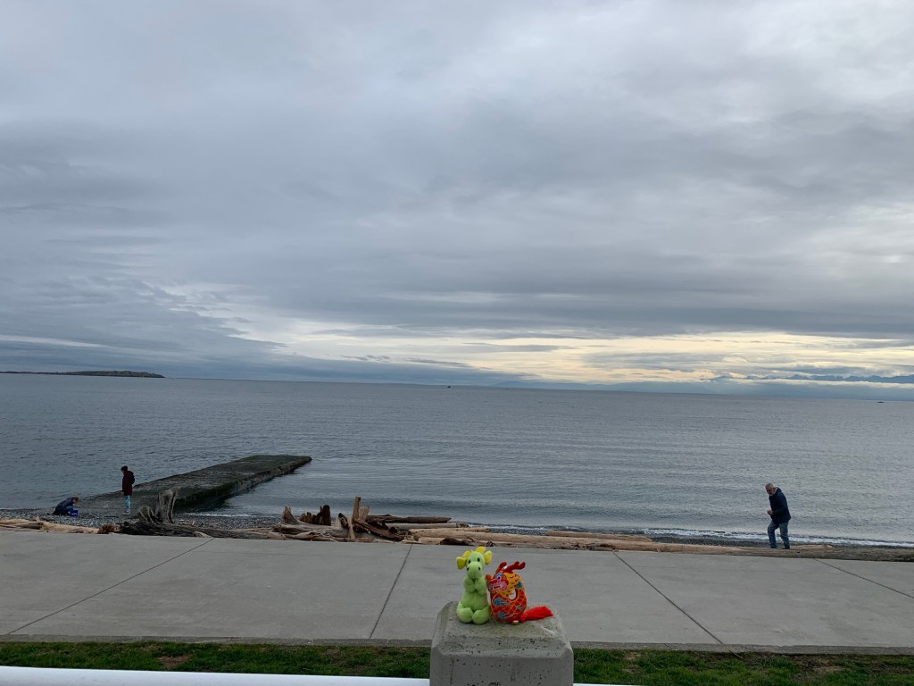
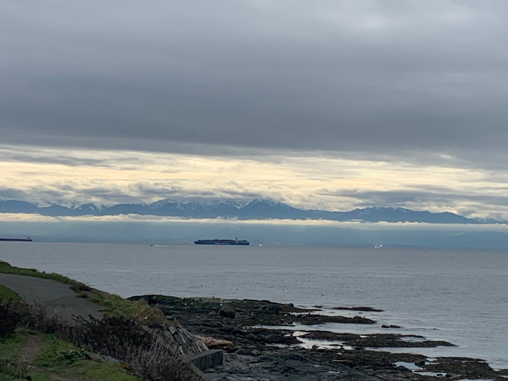
We had a great view of the Olympic Mountains. I think they are called that because they often look like they are floating in clouds… but that is just my guess.
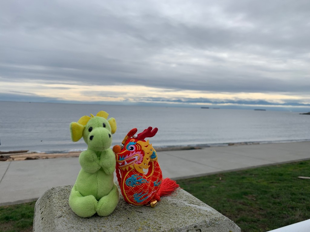
View from Victoria to the Olympic Mountains in Washington State
At clover point Ryuu-kun posed by a stone carving in the dog park.
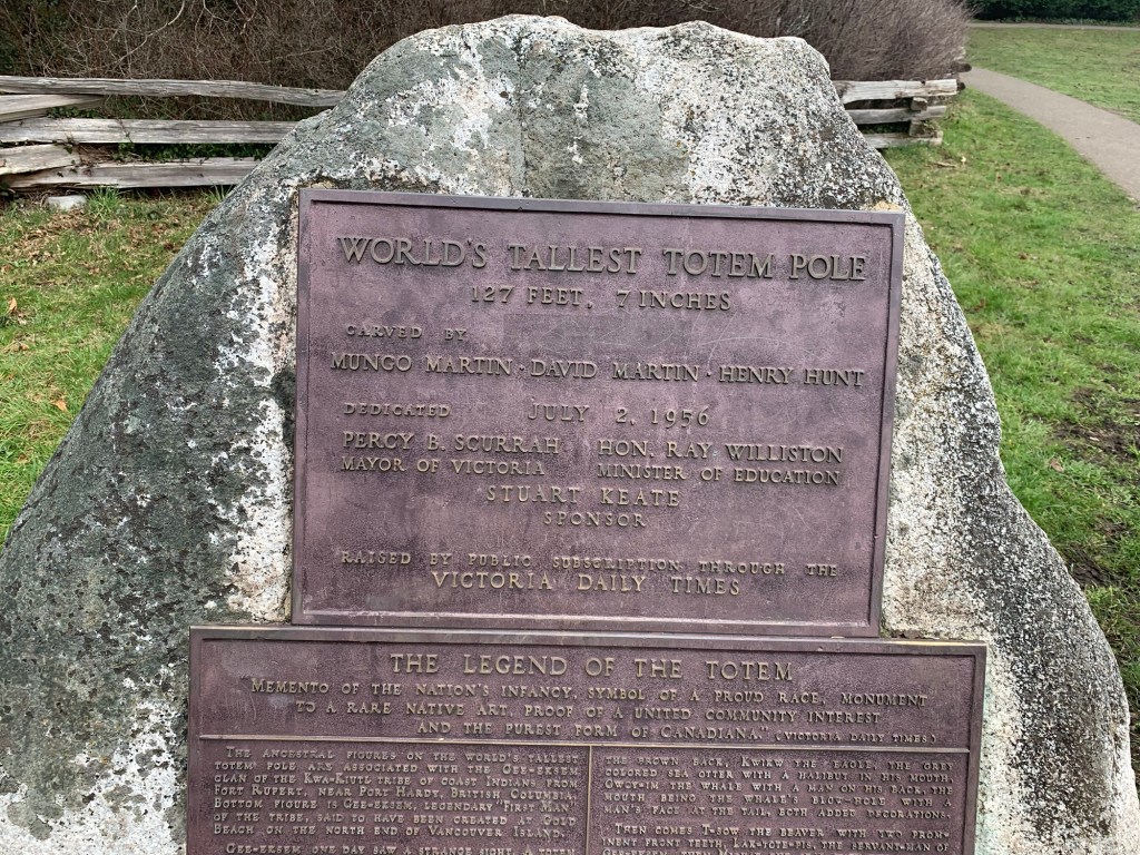
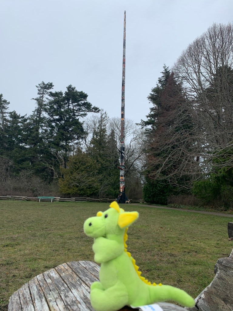
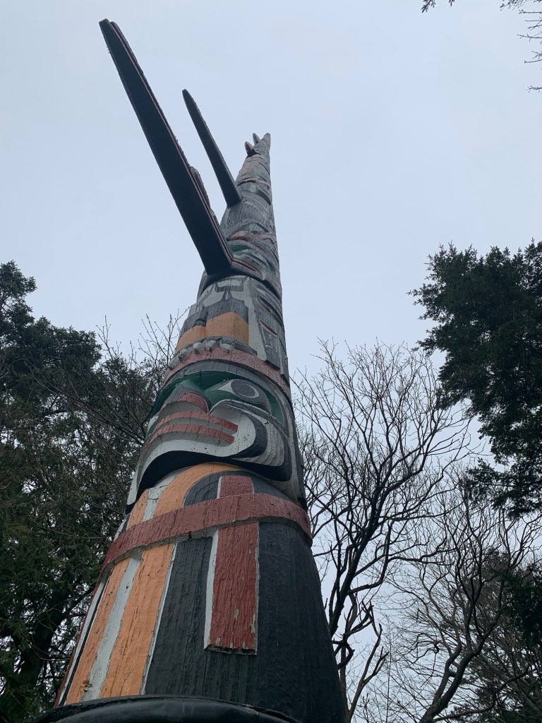
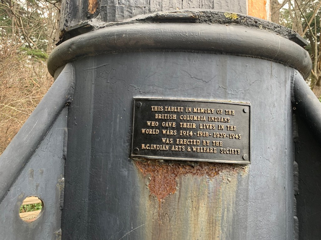
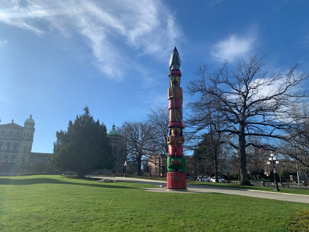
We walked along the coast to the world’s largest totem pole (according to the sign) in Beacon Hill Park. My father says he remembers watching the pole being carved when he was a very young boy.
Sign saying that it is the world’s tallest totem poleDragon-Kun in front of the totem poleAt the base looking upPlaque at the bottom of the totem pole
We then walked to the Children’s Farm where there are goats (with their creepy eyes), llamas, and chickens.
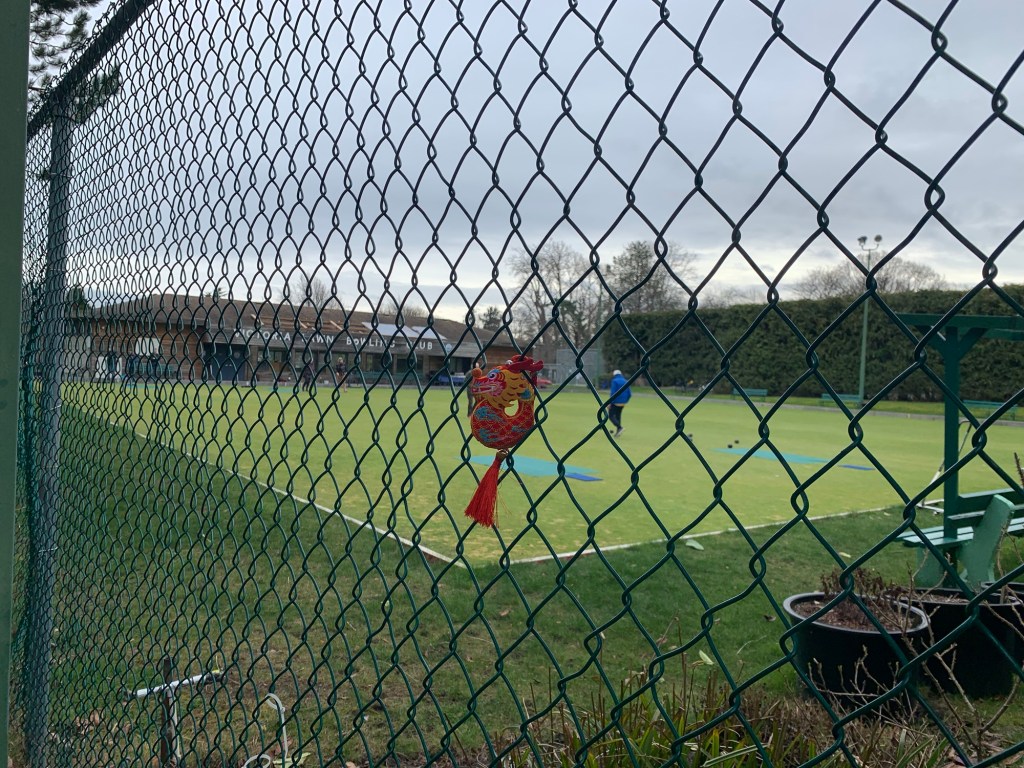
We then walked toward the cricket pavilion , tennis courts, bowling green, and croquet lawns.
Dragon-kun posing in front of a plum tree in blossom Dragon-kun looking at the empty cricket fieldRyu-chan watching the lawn bowlers.
Ryu-chan wanted to stay and play Croquet… but it was going on 2pm and Dragon-kun and I didn’t have lunch yet and were getting hungry.
If you want to do this walk there is parking beside and in front of the Children’s Farm in the park.
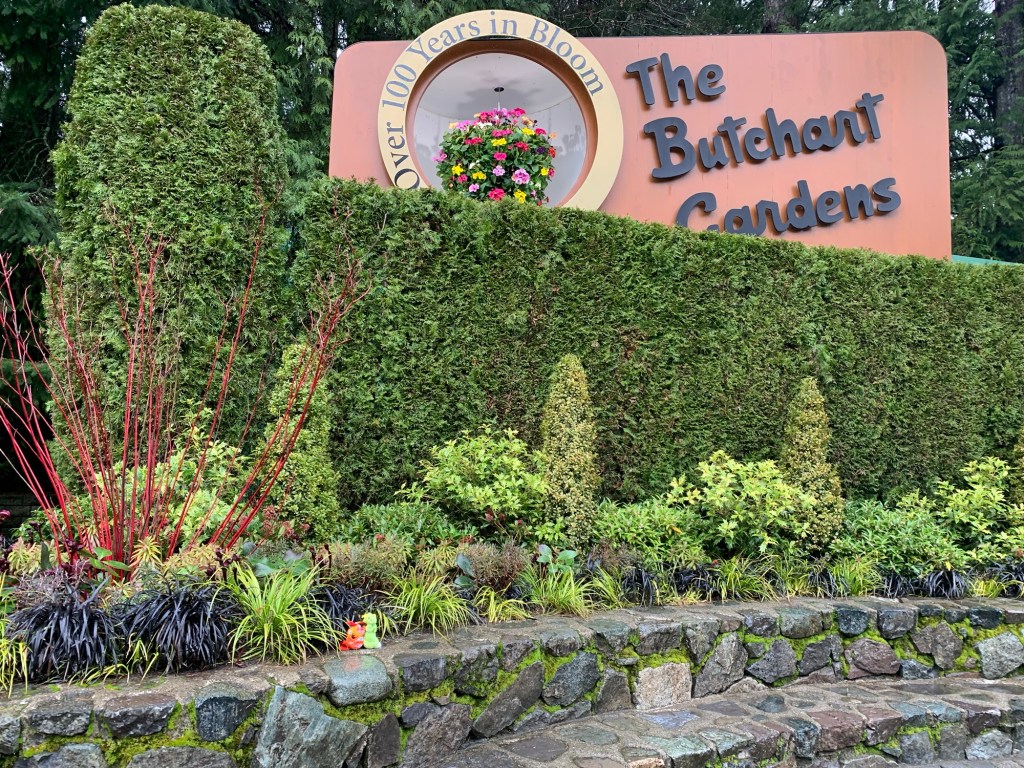
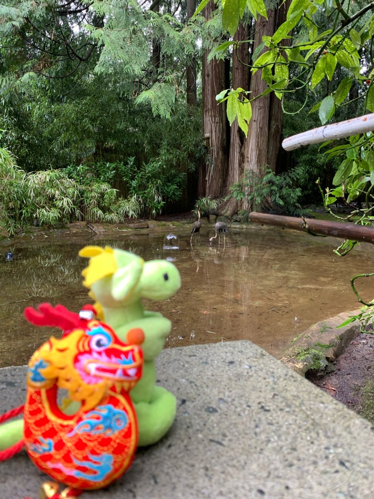
Today’s adventure is a little different. It is the start of travels with Ryuu-chan, and Dragon-kun.
Usagi-chan may make a few appearances, but she said she will definitely be back in 12 years.
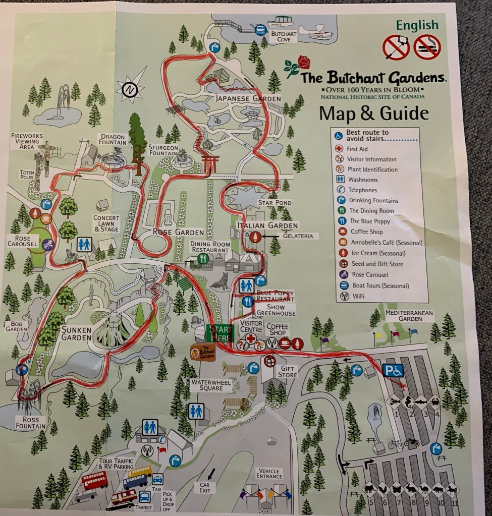
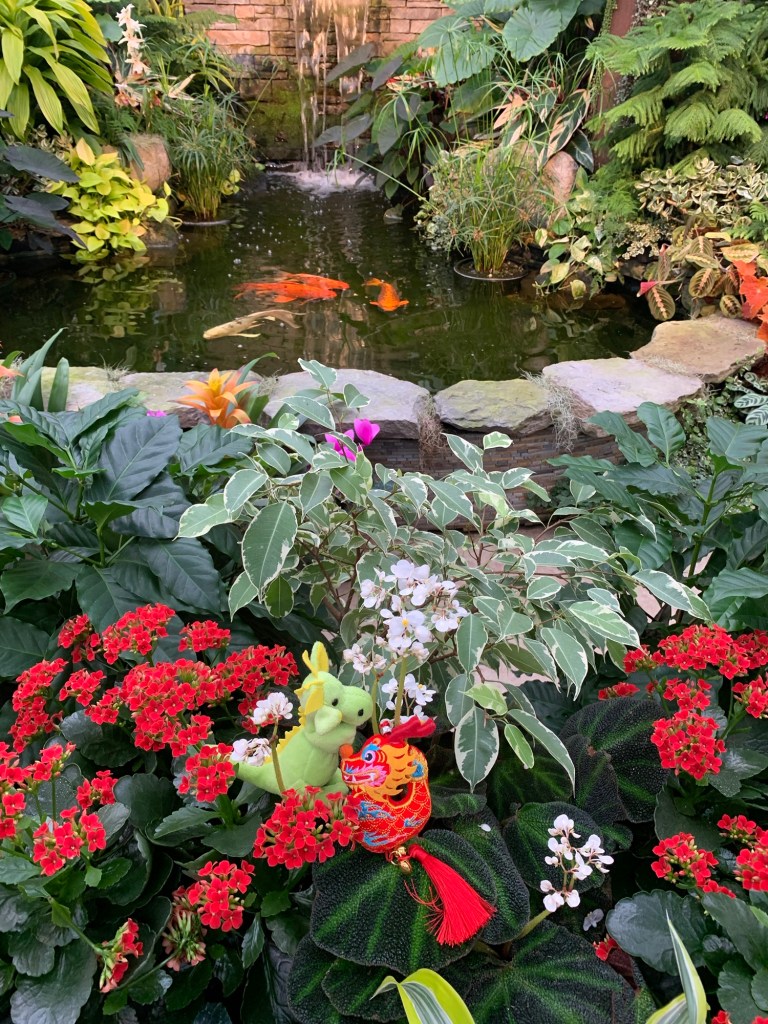
I was so excited about Ryuu and Dragon joining me on my walk around Butchart Gardens that I forgot to set my Fitbit to record the walk…so I’m not sure the distance.
Butchart Gardens is wheelchair and family friendly, there are lots of places to sit and enjoy the gardens… although today being rainy… maybe not so much with the sitting.
Map of the route we tookRyuu-chan and Dragon-kun posing in front of the Butchart Gardens sign
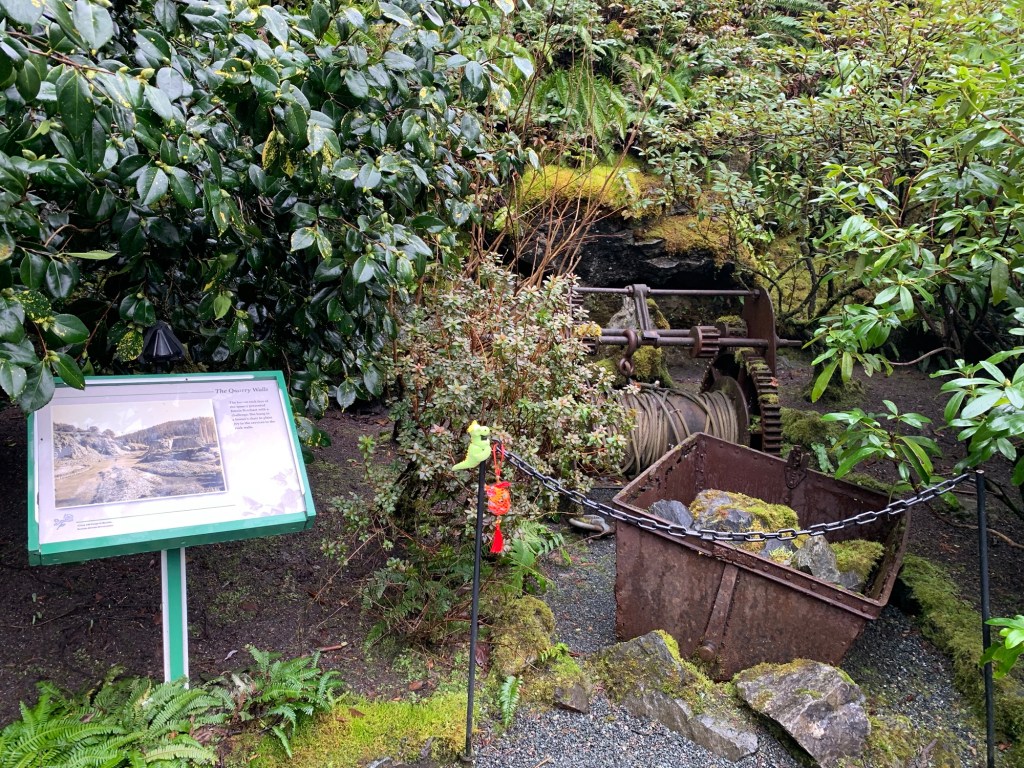
The Gardens was a limestone quarry which supplied limestone to the Portland cement plant. (Both quarry and cement plant were owned by the Butchart family). The garden was the idea of Jennie Butchart (wife of cement and quarry owner -Robert Pim Butchart)
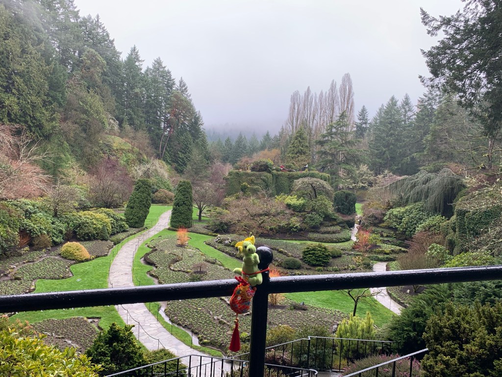
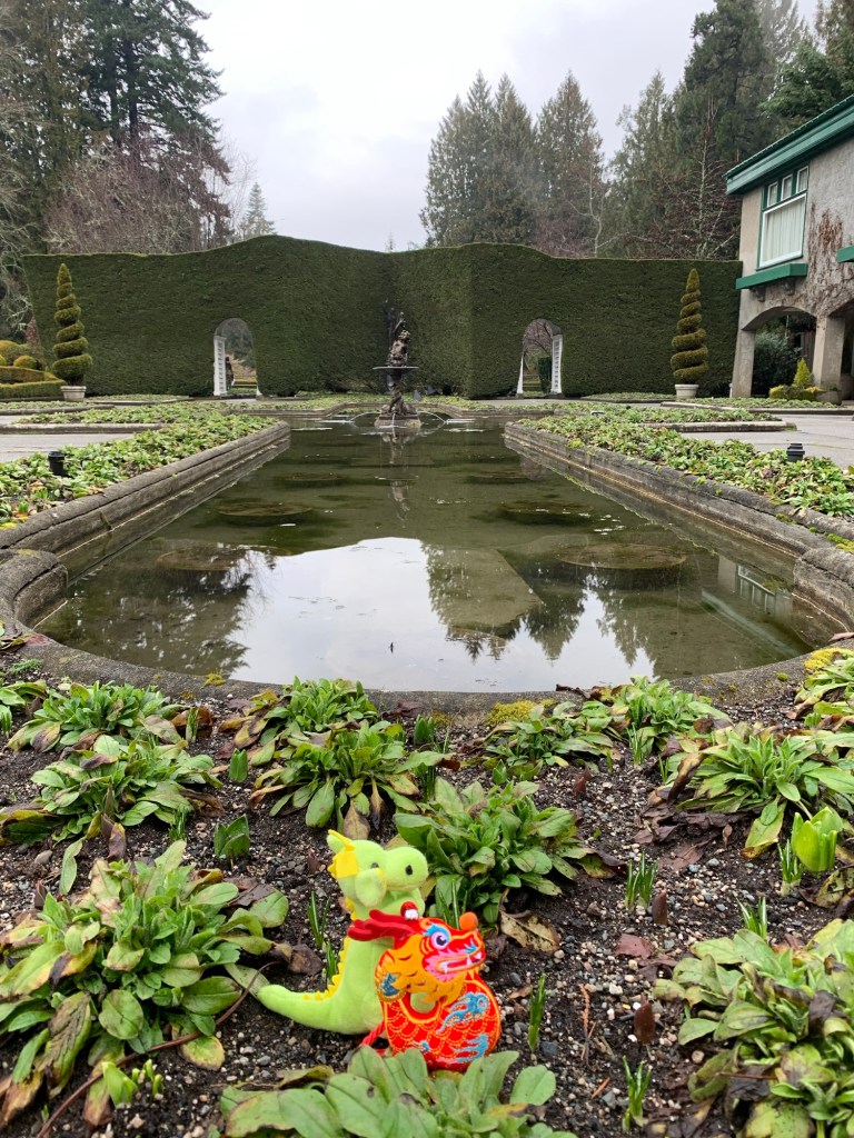
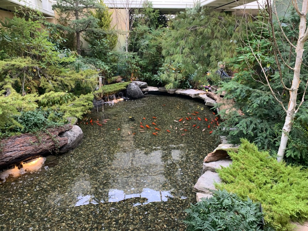
Sunken GardensPond in the Sunken GardenOld Quarry equipment
In 1904, Jennie Butchart took the abandoned quarry and started turning it into the Sunken Garden. (The Sunken Gardens is signature garden – it is on all the postcards for the Gardens).
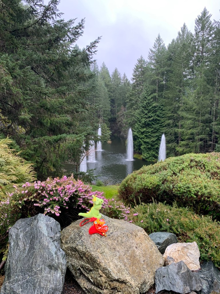
Ross Fountain Lookout
Ross Fountain Lookout was a smaller quarry and turned into the fountains in 1964.
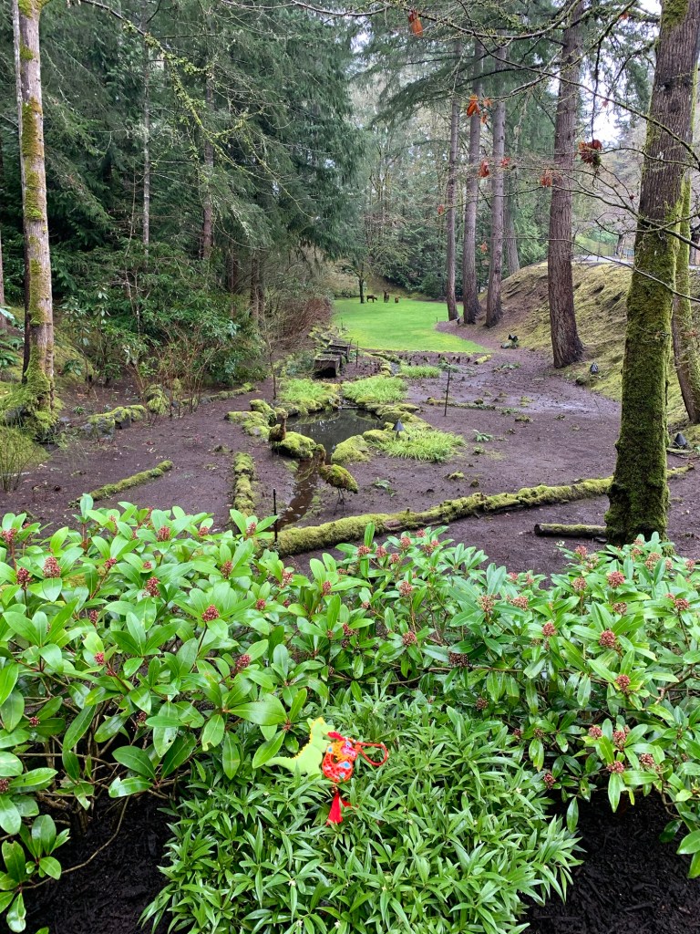
The Bog Garden
The Bog Garden usually has giant ferns in the summer months and it looks prehistoric. Ryuu and Dragon were disappointed not to see the ferns as it reminds them of their dinosaur ancestry, but they were happy to see the moss.
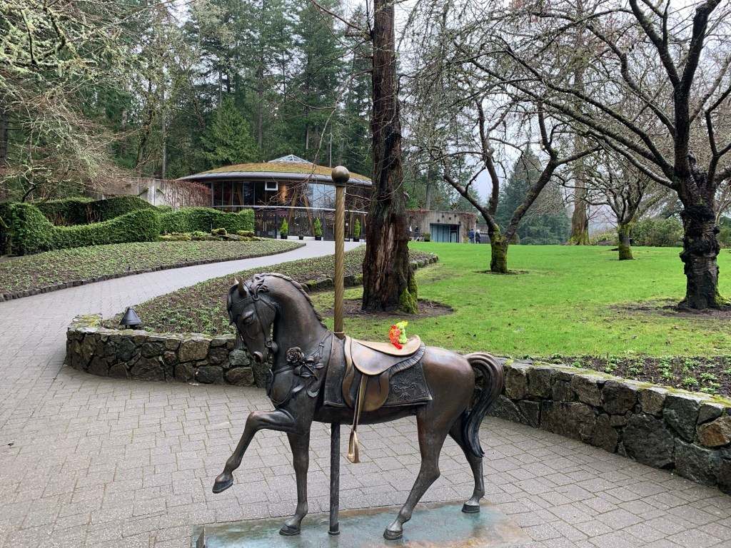
Ryuu and Dragon on the Carousel sculpture
Ryuu-chan and Dragon-kun liked watching the Carousel but didn’t want to ride on something that went round in circles, so opted for a photo on the sculpture of the carousel horse at the base of the building that houses the Carousel.
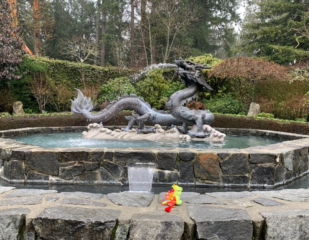
Ryuu-chan and Dragon-Kun posing informally front of the Dragon Fountain
The Dragon Fountain is a gift from the People’s Republic of China and Victoria’s sister City, Suzhou to Butchart Gardens.
If you read last week’s post you’ll see that Victoria has many sister cities…well okay… maybe just two… I am finding out about these sister cities as I walk.
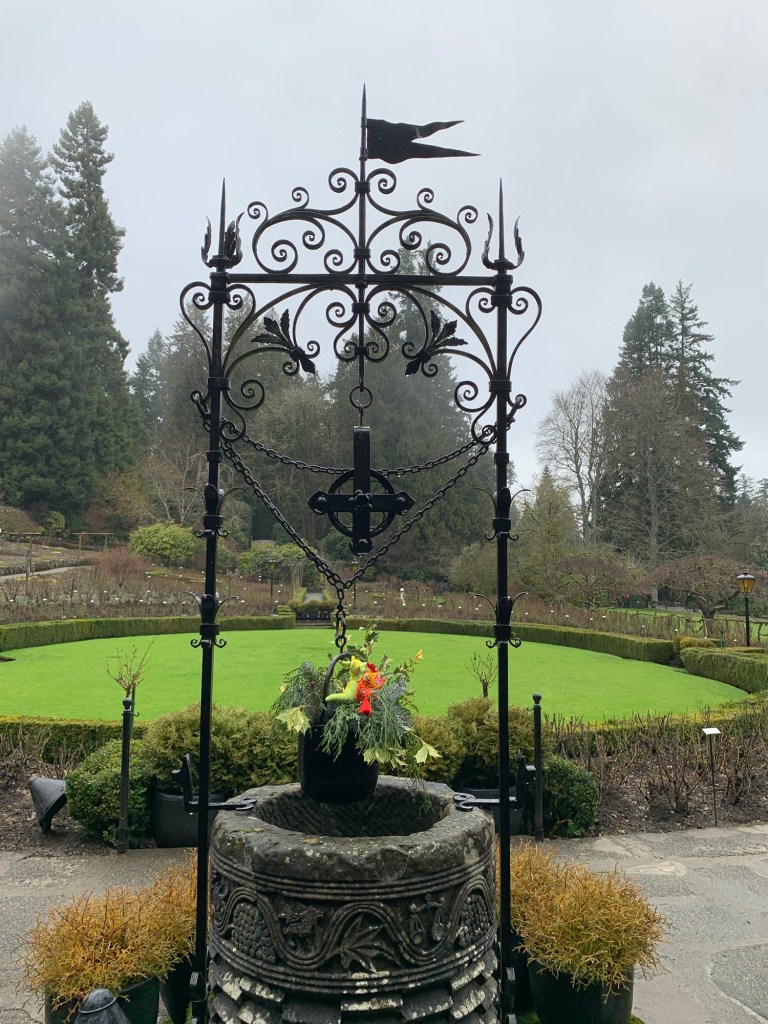
Frog fountain Wishing wellRose garden
We walked through the rose garden…again wrong time of year.
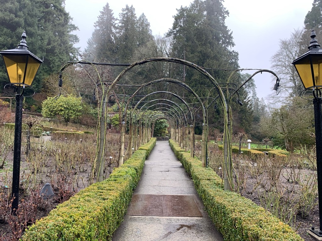
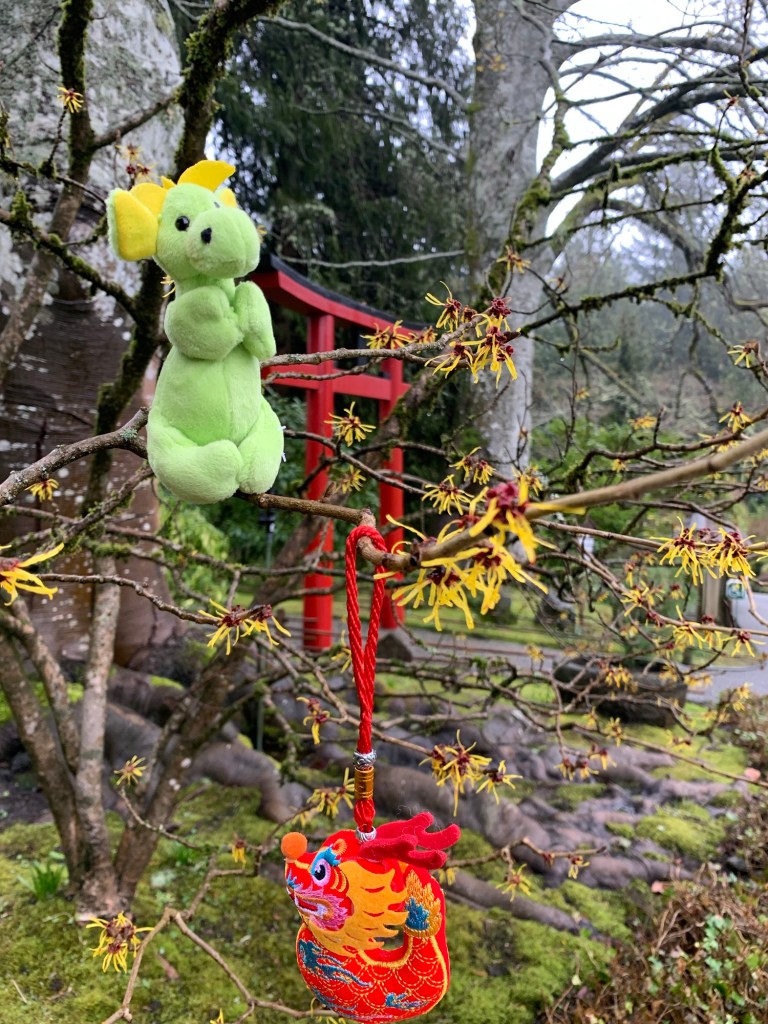
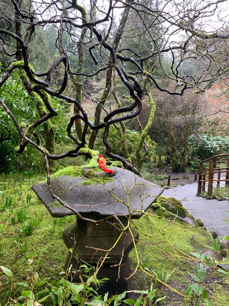
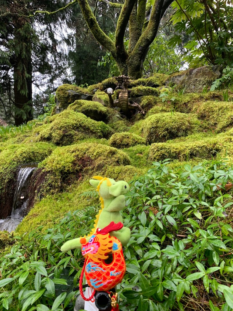
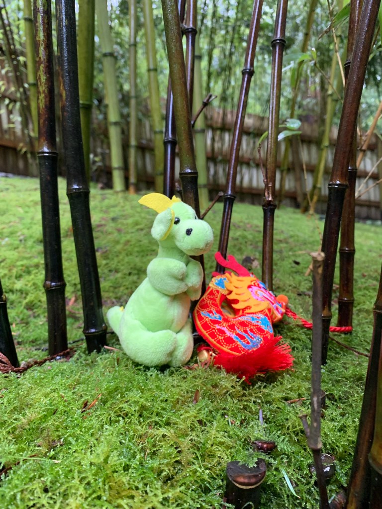
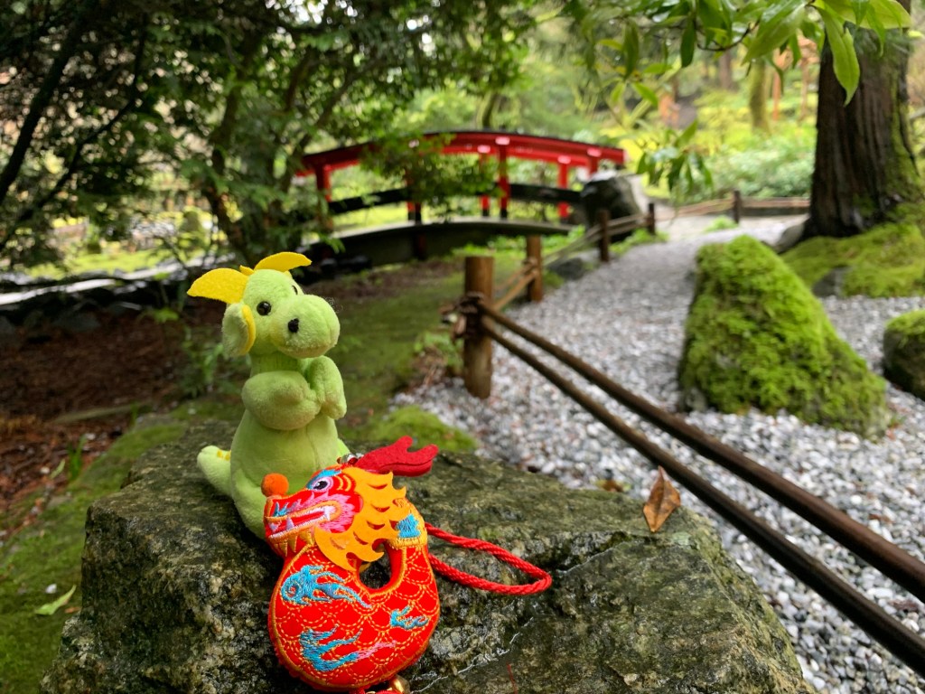
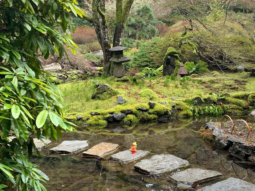
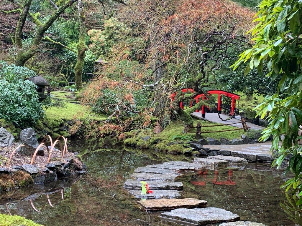
Tori gates to Japanese garden Stone lampRyuu and Dragon excited to see another dragonBamboo forestLooking at crane sculptures Japanese Garden
The Japanese garden was started in 1906 and designed by the Japanese landscape artist, Isaburo Kishida.
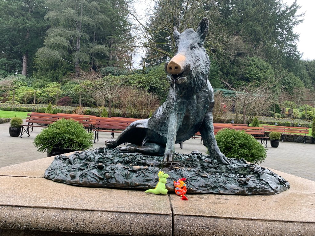
Italian Garden (Ryuu and Dragon are looking toward the part of the building where it is rumoured to have a bowling alley)Tacos Boar -people rub the snout for good luck Show Greenhouse
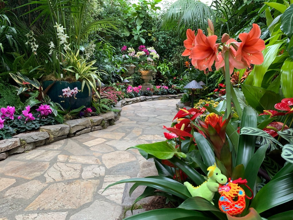
The last bunch of photos are in what is usually the Blue Poppy Restaurant, but at the moment is the Spring Prelude exhibit.
If you are think of visiting the gardens here is some information:
Ticket price: $30.70 (Adult)
22K from downtown Victoria (BC Transit does have buses that go to the Gardens)
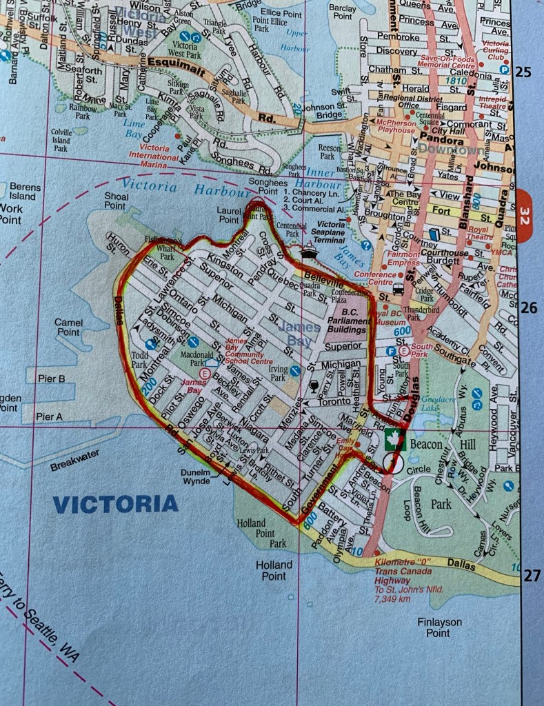
Today’s walk is based on walk #9 of John Crouch’s ‘Walk Victoria’ (according to my local independent bookshop this book is out of print and the author is in the process of getting it republished…hopefully with distances in Km or miles instead of hours). This walk is 5.13k .
Apparently, I didn’t learn the basics in kindergarten: always use a pencil first. The thicker red line is the route we took.
If doing this route and you need a place to park, there are parking spaces on Douglas and in Beacon Hill Park.
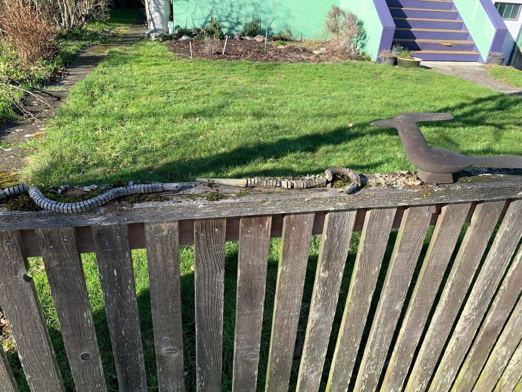
According to John Crouch’s book, James Bay was made into a fashionable suburb in the 1800s. The rich land owners then decided that the Rockland area was better and moved their houses there and subdivided their properties in James Bay allowing smaller houses to be built. And there are a lot of cute little cottage-like houses in the James Bay Area…. Did I photograph any of them?Nope.
But I did take a photo of an interesting fence.
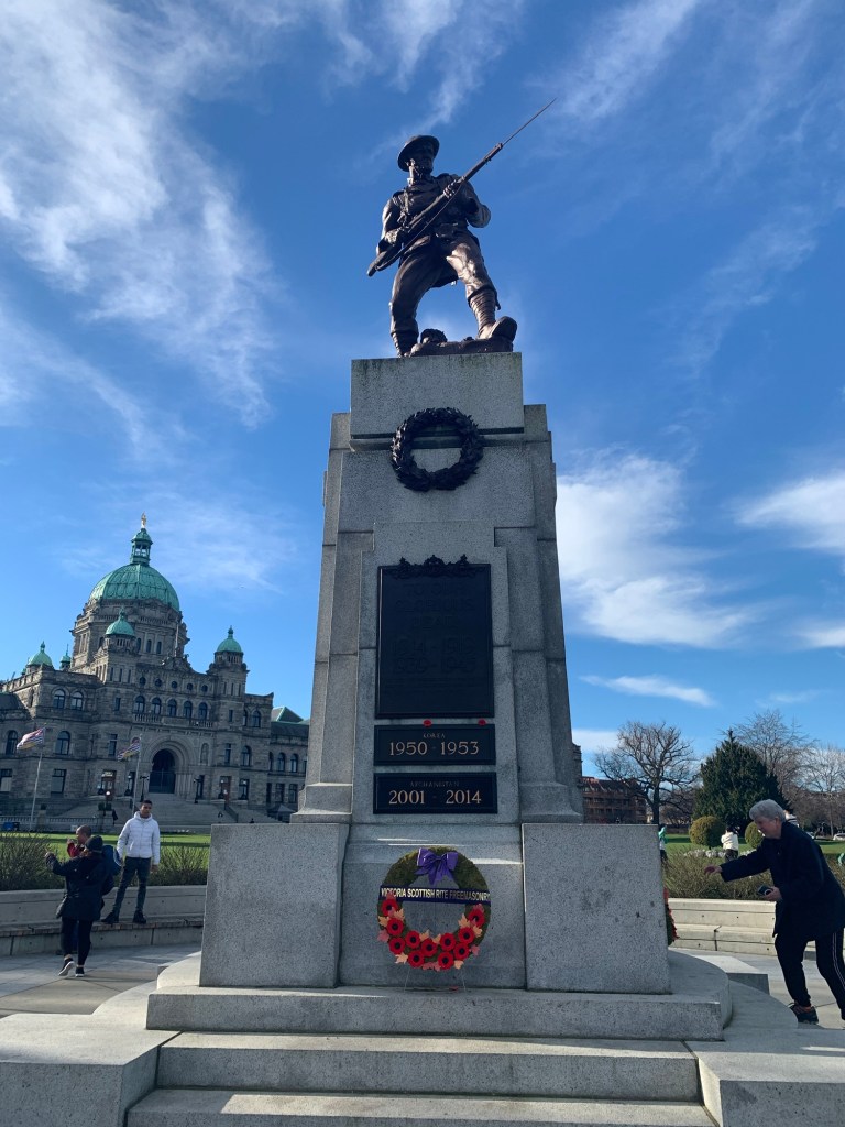
The walk took R. and I to the main tourist area of the city: in front of the B.C. Parliament Buildings (also known as ‘The Birdcage’ – I might do a blog about it in the future)
As we were passing the cenotaph, a woman was changing the wreaths. R., who is braver than me, asked the woman about it. The woman said she is from the Legion, and every Memorial Day they get more wreaths than they can display, so they spread the wreaths out throughout the year.
Cenotaph in front of the B. C. Parliament Statue of Queen Victoria (whom the city is named after)The Knowledge Totem Pole carved by Cicero August, a costal Salish artist, and his sons Darrell and Doug August.
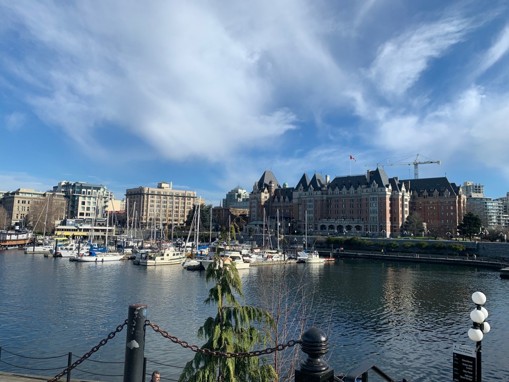
From the Parliament building one can see the Empress Hotel. (Apparently, they have a good tea service.)
Empress Hotel
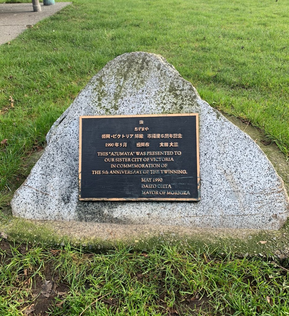
Continuing our walk along the water there is a path that leads behind Laurel Point Hotel. At the beginning of the path there are two commemorative plaques from Victoria’s sister City: Morioka.
5th anniversary 30th anniversary
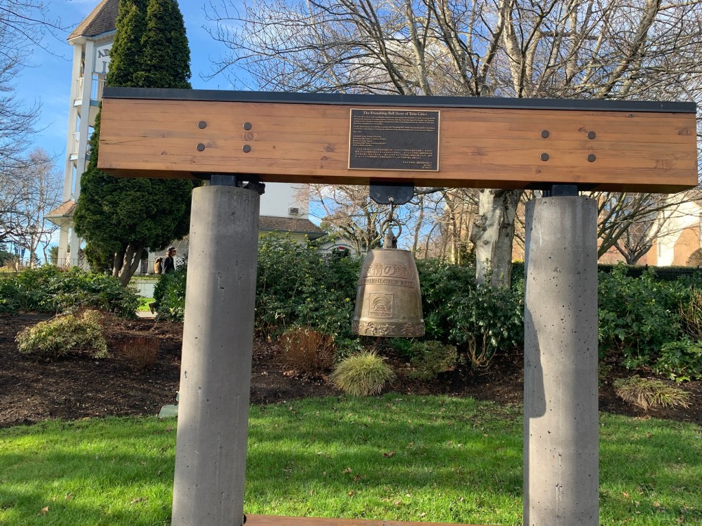
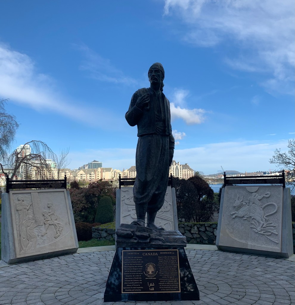
A little further along and there is another tribute to the City of Victoria from the Lebanese community.
Tribute from the Lebanese community
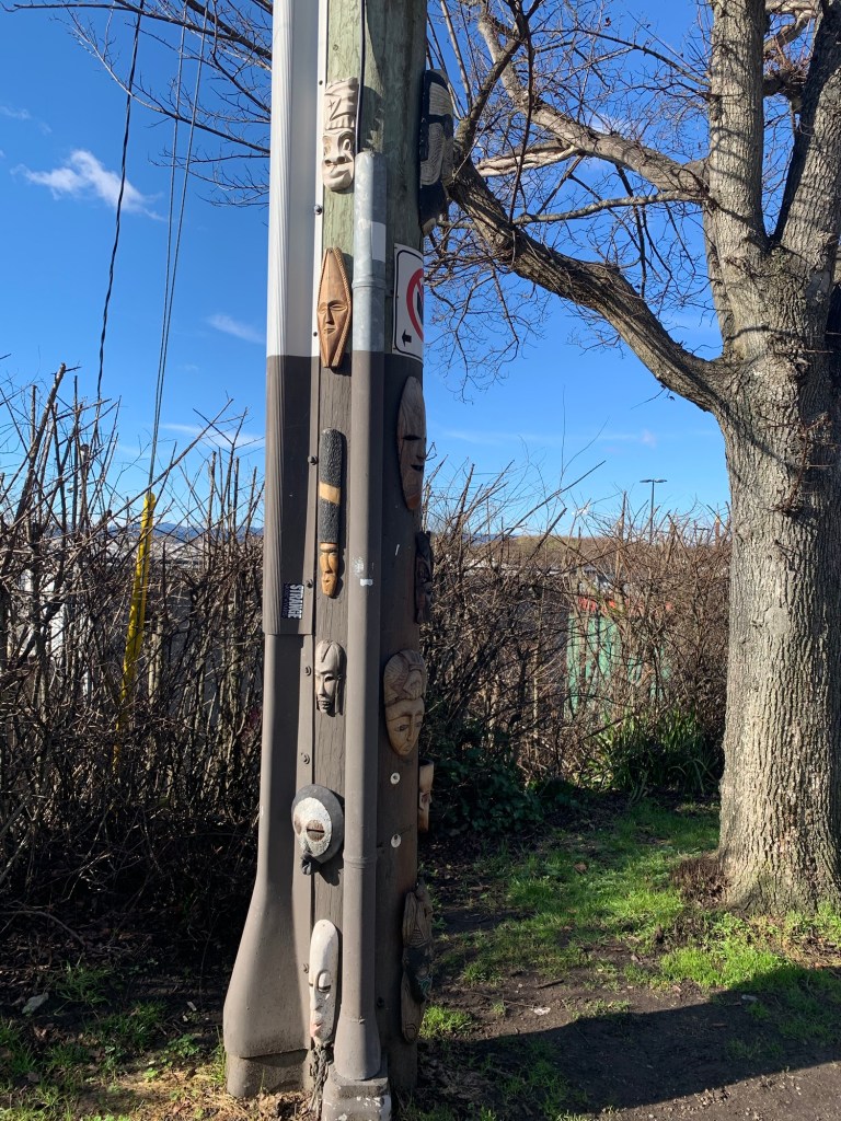
Walking around the point, past Fisherman’s Wharf, and the Canadian Coast Guard there was a pole covered in masks. one of the masks looked like another relative to Usagi-chan, but the lighting was wrong and the picture did not turn out. (Usagi-chan was tired today, so stayed at home).
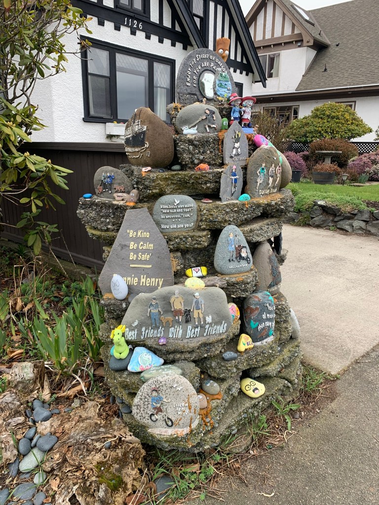
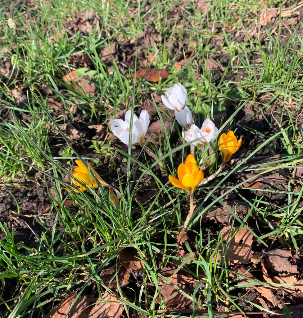
We finished our walk by walking up Government, but along the way there were little signs of spring everywhere.
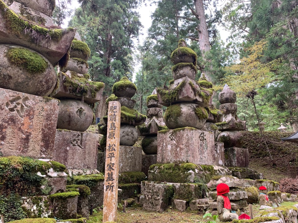
Got up at stupid o’clock in the morning to catch a bus, to catch a train to catch a cable car to catch another bus to pay my respects to Kobo Daishi (Kukai).
All it said in my guidebook was to go to Mount Koya. It did not say that Mt. Koya is like a Temple village and that one needs a bus to get around. Luckily, the guy at the ticket counter at Namba Station told me about a discount ticket where it not only gets you to Mt Koya, but also includes a all you can ride two day bus pass.
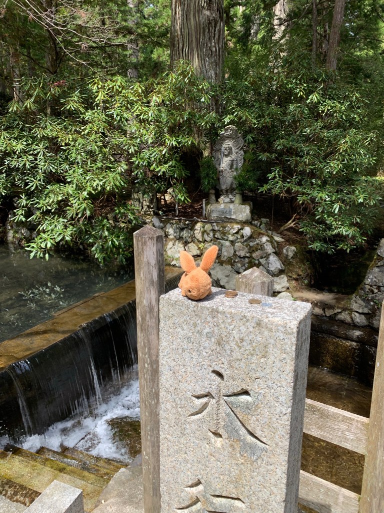
Images around the Kobodaishi Gobyo Mausoleum
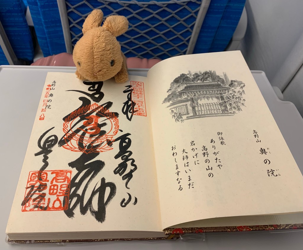
I got to the Kobodaishi Gobyo Mausoleum ( no photos allowed) which was through a giant cemetery with gigantic trees. After which I got my final Nokyocho stamp.
Last Nokyocho stamp
I am now on a bullet train heading back towards Tokyo. It’ll be nice to stay in one place for a while and not have to worry about accommodations, transportation and weather!
Today started off with a bus ride to Ai no Yakata. Ai no Yakata is an Indigo dye museum and workshop. It was interesting seeing the history of Indigo dying industry in Tokushima. It was also fascinating making a pattern on a bandana.
Bandana I dyedMiniature model of indigo production
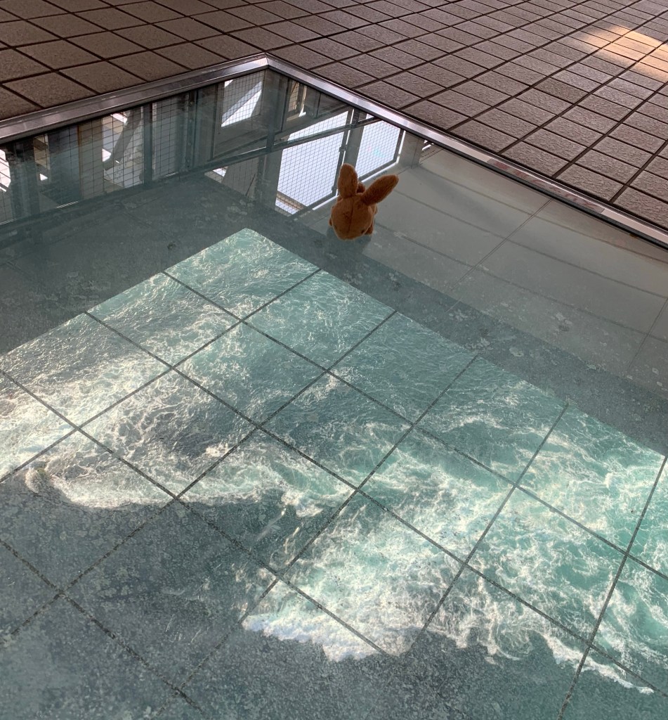
Headed back to the city for a quick Lunch before heading out to the Naruto whirlpool. The best time for viewing the tidal whirlpool was 16:40. I just made it on time. I opted to see it from the bridge instead of from a boat as I thought it was huge (judging from photos I had seen). The photos are from a boat and there are more than one whirlpool. They aren’t that big. Glad I went to see it.
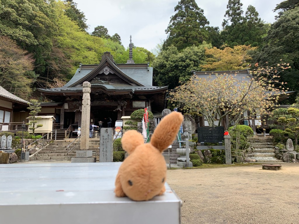
Last Shikoku Temple day. In the morning I went to Temple 88 (Okuboji). I was a bit emotional, as it was the last of the 88 temples. Not sure if the Temple itself is larger than the other temples, but it sure felt majestic.
Temple 88 (Okuboji)
Visiting all 88 temples is called “kechigan” (the fulfillment of one’s wish). However, some believe that one needs to complete the circle by returning to the temple one started with to achieve Kechigan. So I went back to Temple 1 (Ryozenji) where my journey began 30 days ago.
Main Temple at RyozenjiCertificate saying I completed the henro
Do I feel any different from when I started 30 days ago? Yes, my feet hurt. Will have to see a doctor when I get home regarding plantar fasciitis. But besides that? I leant a lot about myself, which at this point I’m not ready to share on a public blog. And then there are other things/rules that I learnt:
1) there is no right or wrong way of doing something, only the way that works best for you.
2) (following point 1) don’t let someone make you feel bad about the way you do things. That is their insecurity NOT yours.
2) you are only allowed to feel sorry for yourself or frustrated about a situation for a maximum of 3 minutes – anything longer than that and you might miss the bus.
Tomorrow I’m doing some sightseeing in Tokushima. I was excited about starting the pilgrimage when I first got here I didn’t do any sightseeing.
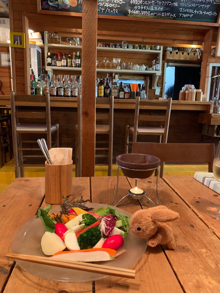
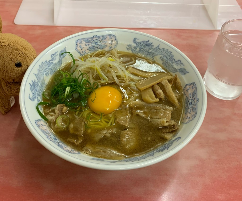
For dinner I ate Tokushima Ramen. It is a rich Shoyu based ramen with a raw egg. It was kind of like Sukiyaki met Ramen and had a baby and called it Tokushima Ramen.
Tokushima Ramen
I am still trying to figure out the logistics of visiting Mt. Koya and paying my respects to Kobo Daishi.